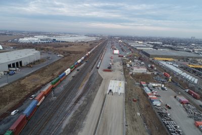
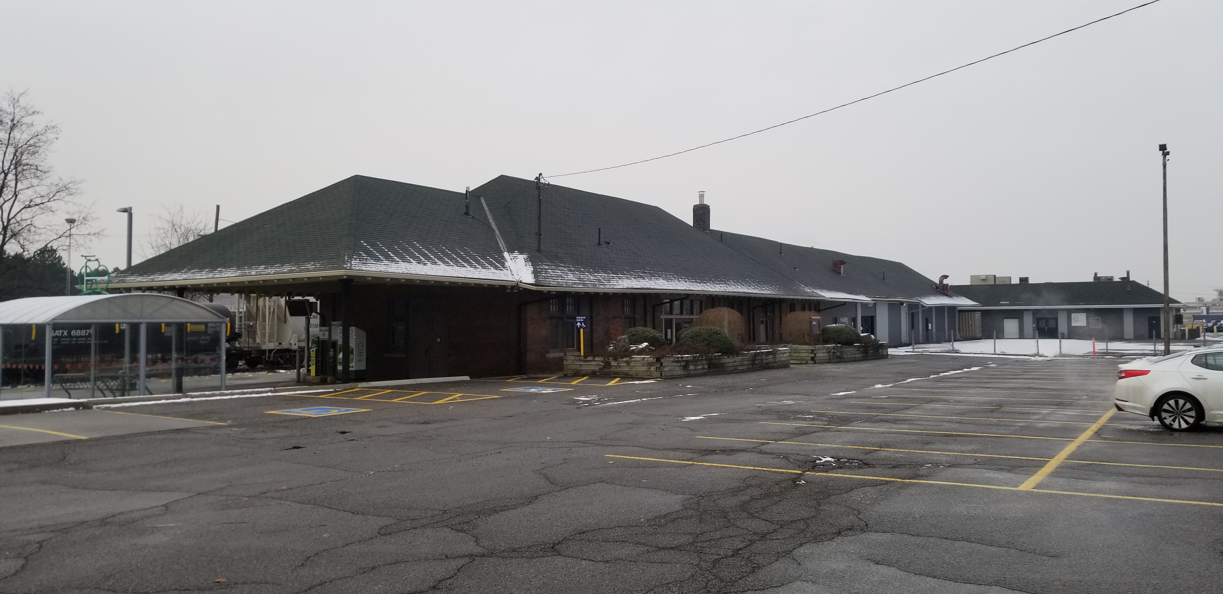

About The Project
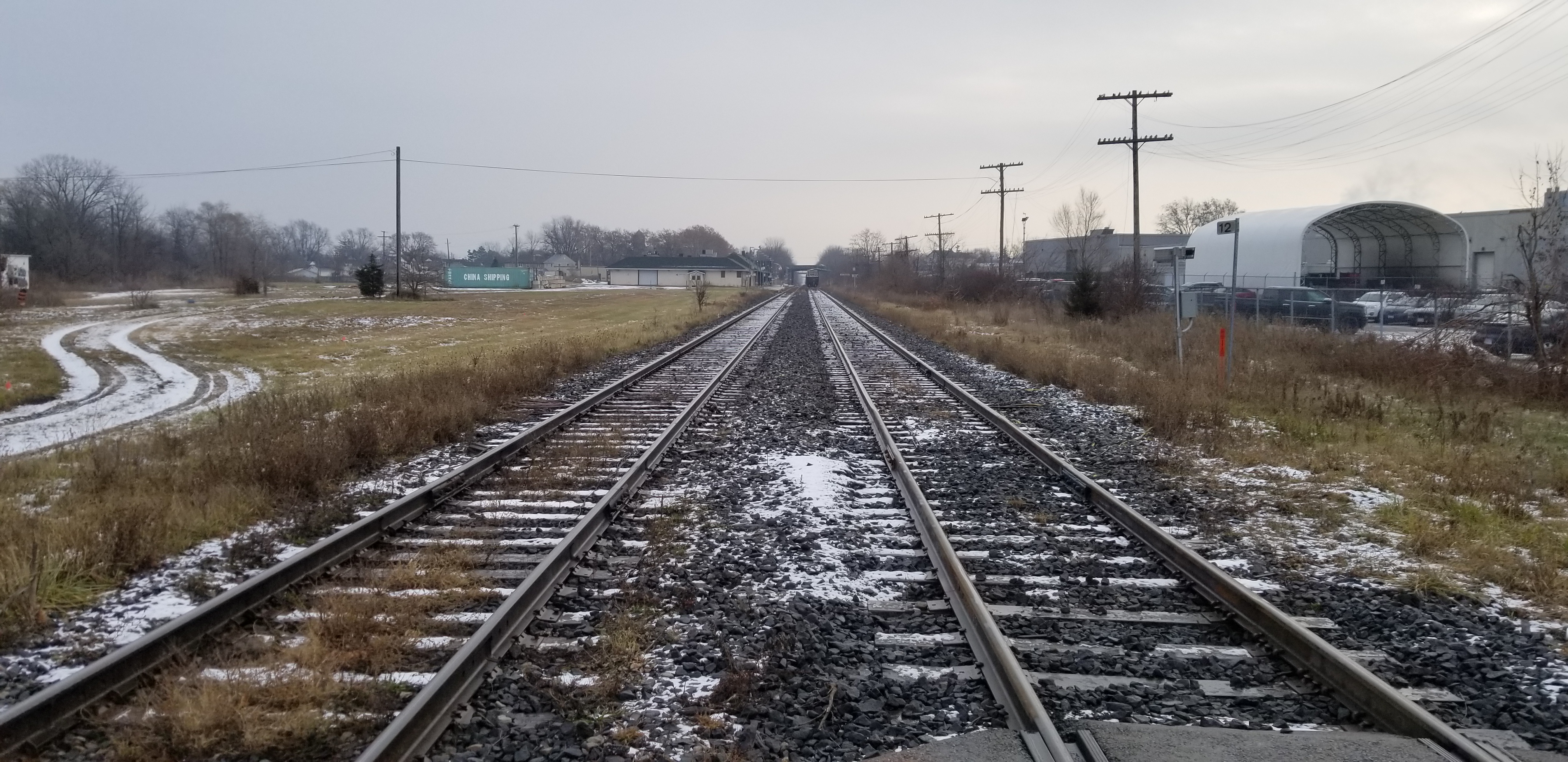
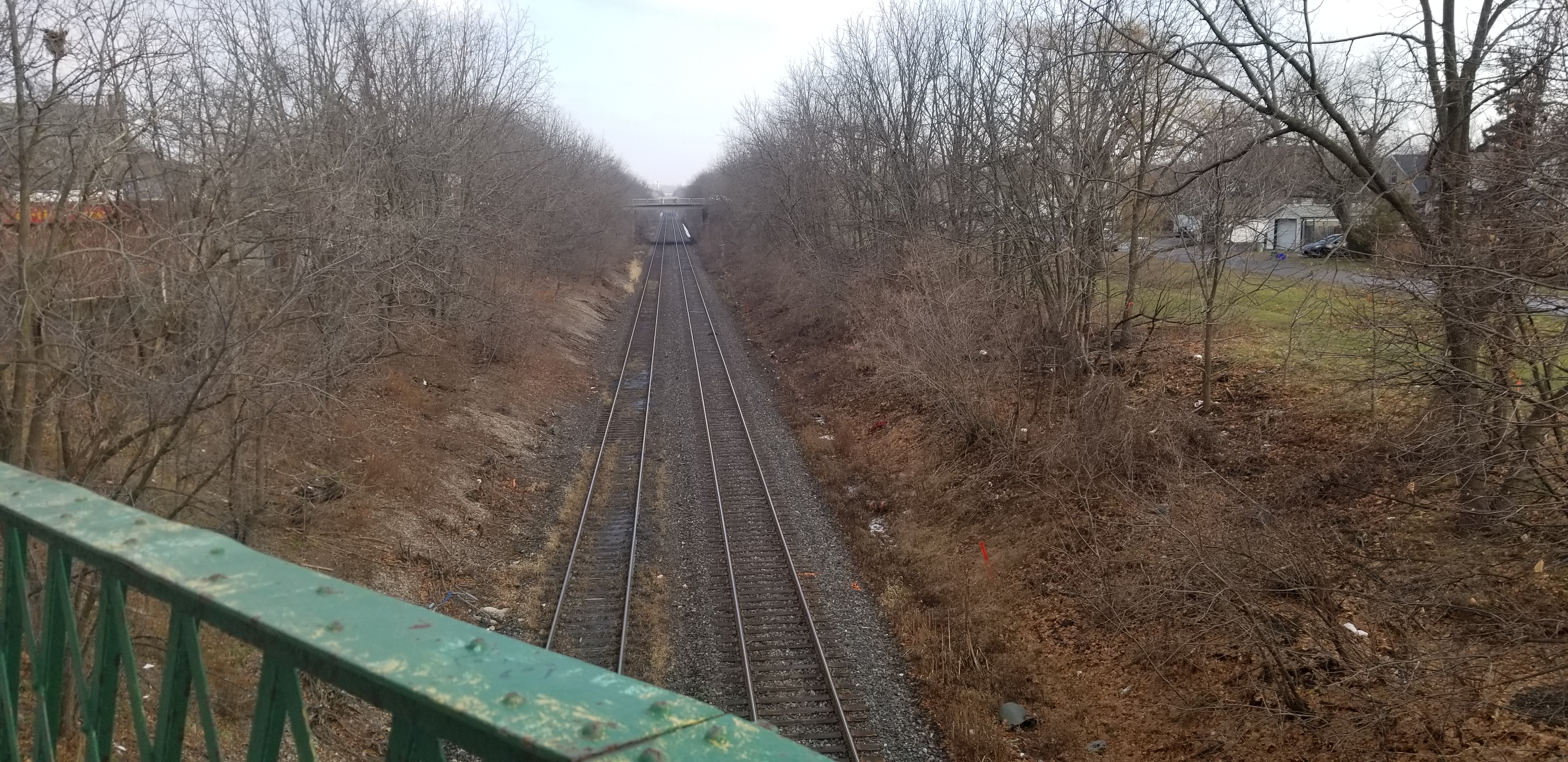
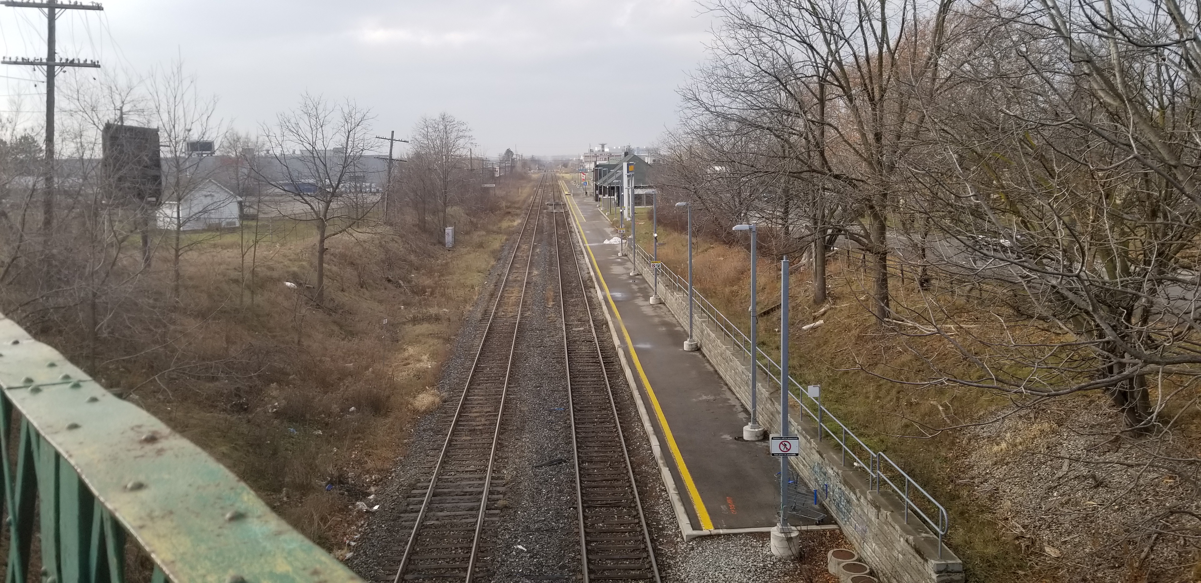
Full topo survey at and around the former VIA rail station in St. Catharines, ON.
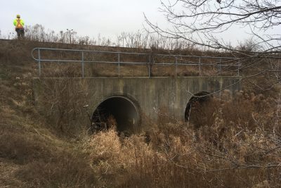
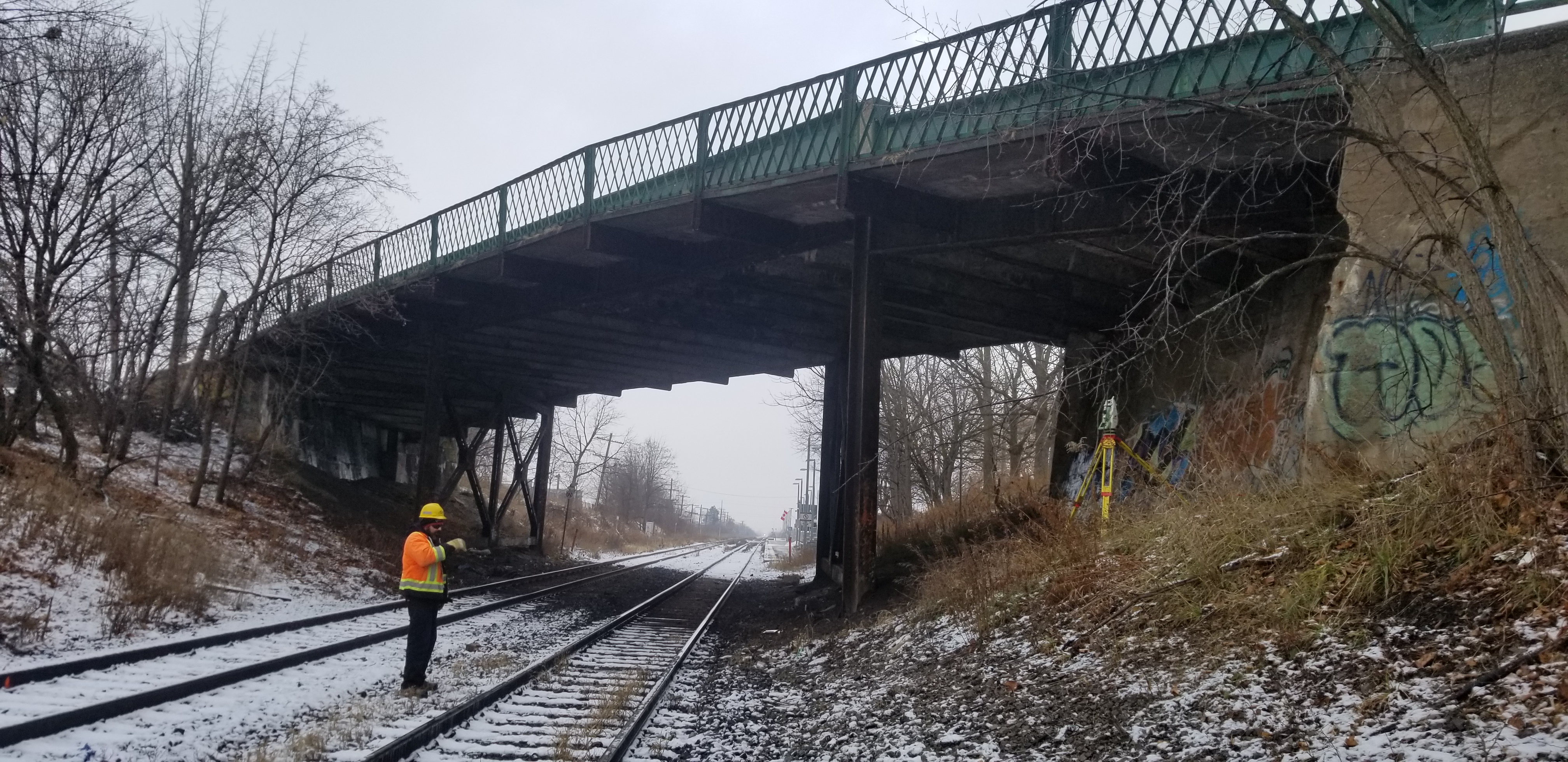
Done using GPS and total station, the survey covered all station features, the rail corridor from St. Paul Street to beyond Louth Street, portions of Louth St. and Ridley Rd., and the bridge at St. Paul Street crossing over the rail corridor. Trees were surveyed within the site limits, with diameter and drip line position taken for each. All manholes and catchbasins were opened for invert measurements.
Flagging was required for all track-level survey work. Typically one surveyor stayed with the flagman while the others worked on off-corridor items.
All elevations were matched to a vertical control monument on the nearby St. Mary’s church. Because of the monument’s close proximity to site, we were able to level to it using total station from a site control point.
Project deliverables included CADD survey base plans, survey points list and extensive site photos.
Services Provided

