About The Project
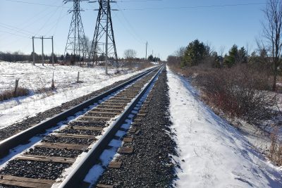
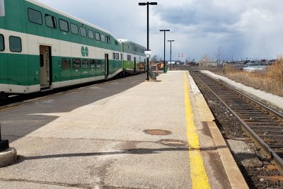
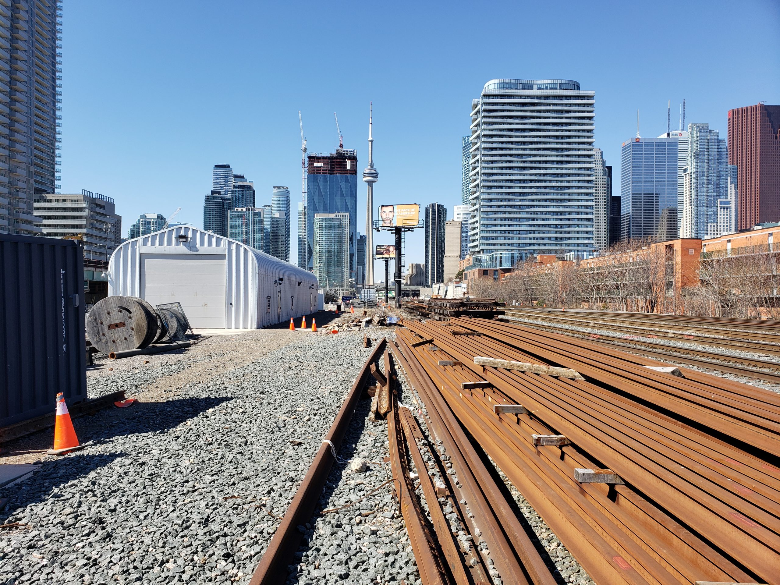
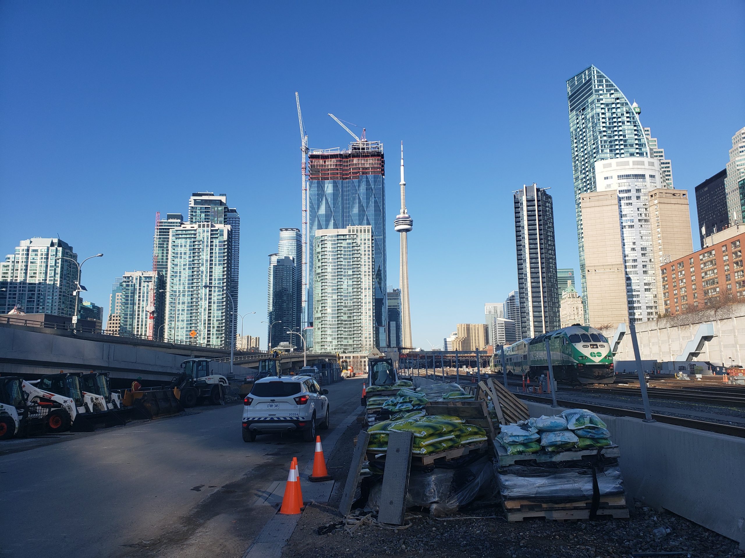
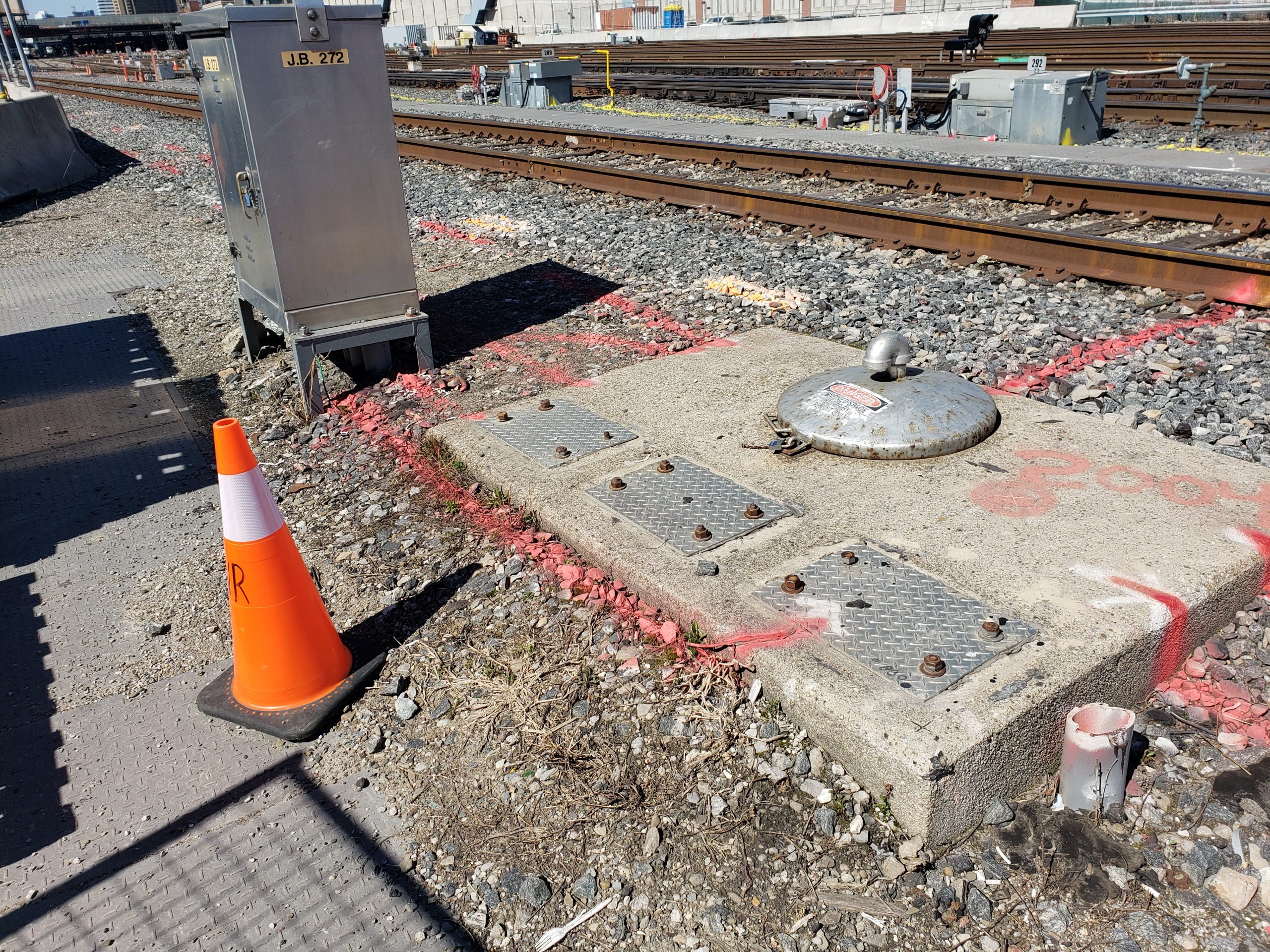
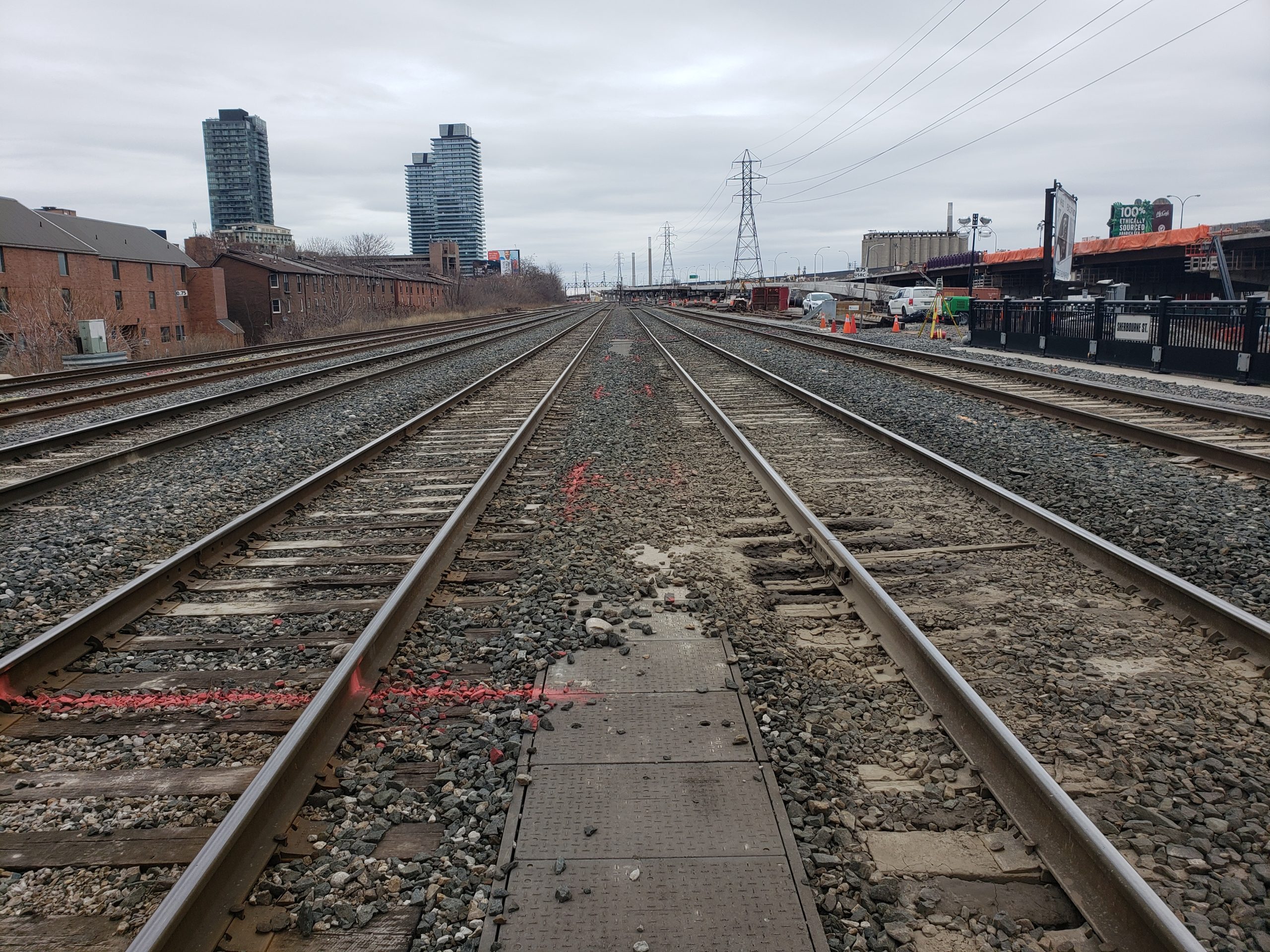
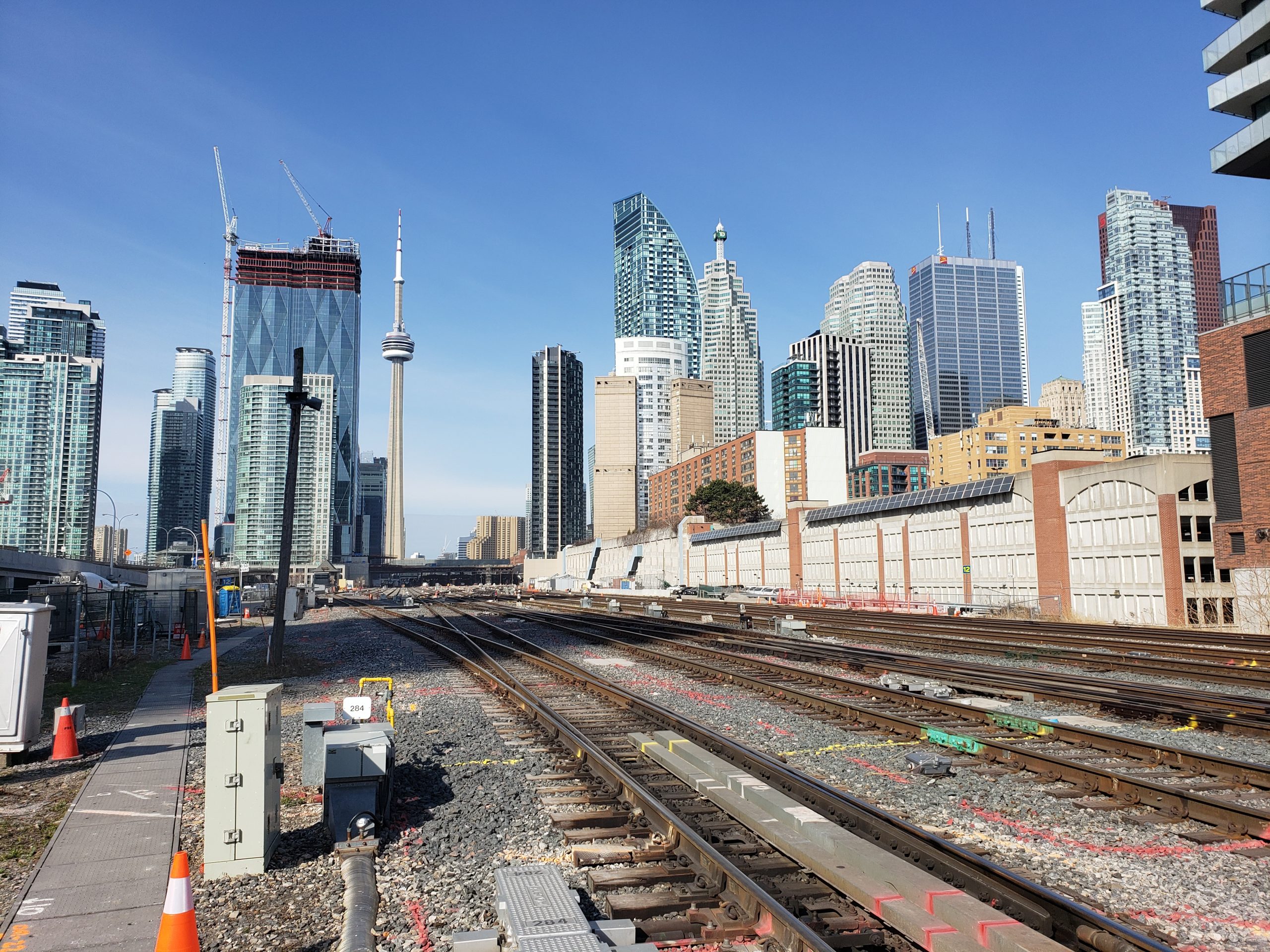
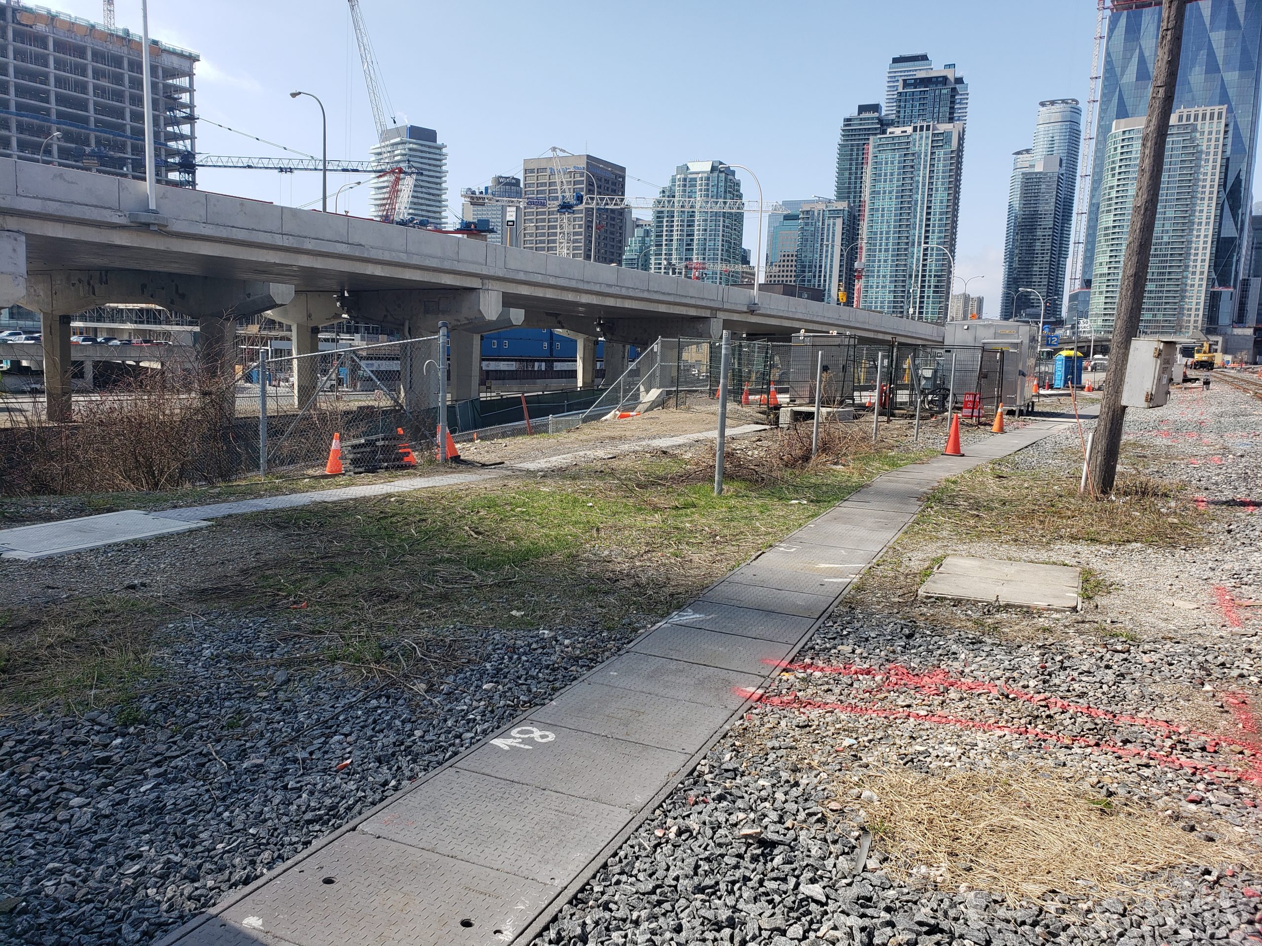
Topographic survey of the south side of the USRC East corridor in Toronto, from the east side of Lower Sherbourne to the west side of Lower Jarvis.
All features were surveyed up to the limits (S side fence/property line), along with overhead wire clearances, top of rail and all aboveground rail and utility infrastructure. The survey work was tied into the MTM10 NAD83 CSRS coordinate system per current Metrolinx standards.
The client received a survey points list and 2D/3D survey base plans produced from the field work.
Services Provided

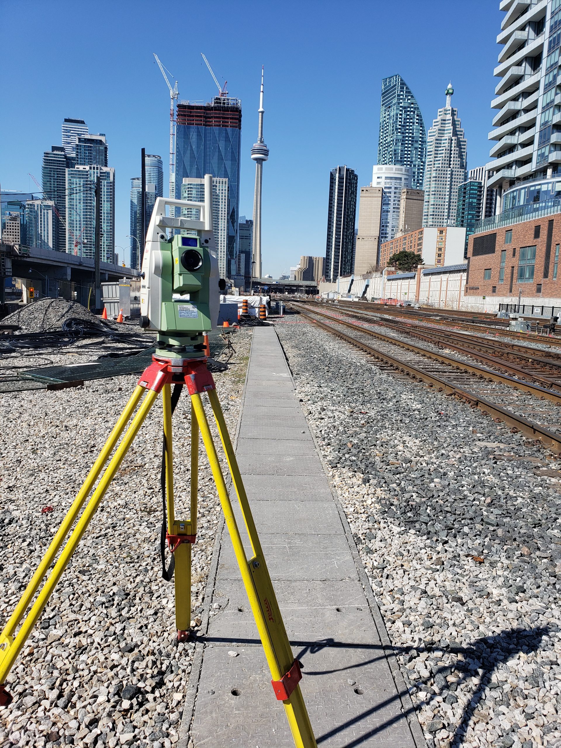
GPS/Total Station
Our field teams use Leica robotic Total Stations, Leica, Trimble, and Topcon GNSS units and Leica DNA03 digital levels to provide a wide range of services for projects of any size; includes topographical surveys, construction layout, control networks, deformation monitoring, site volume calculations, as-built surveys and much more.
