About The Project
Mobile LiDAR scanning of 10 Metrolinx-owned subdivisions in the GTA, including:
-Guelph
-Bala
-Pearson
-Canpa Spur
-GO
-Weston
-Kingston
-Oakville
-Newmarket
-Uxbridge
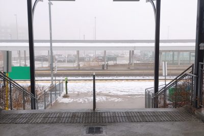
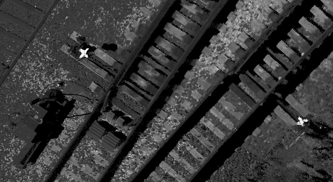
Prior to scanning, mobile LiDAR scan targets were set on all subdivisions. Targets were painted on rail ties, and on platform level at all GO stations within the project limits. Targets were surveyed in the standard Metrolinx coordinate system (MTM10 NAD83 CSRS).
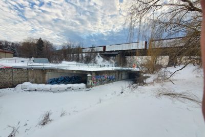
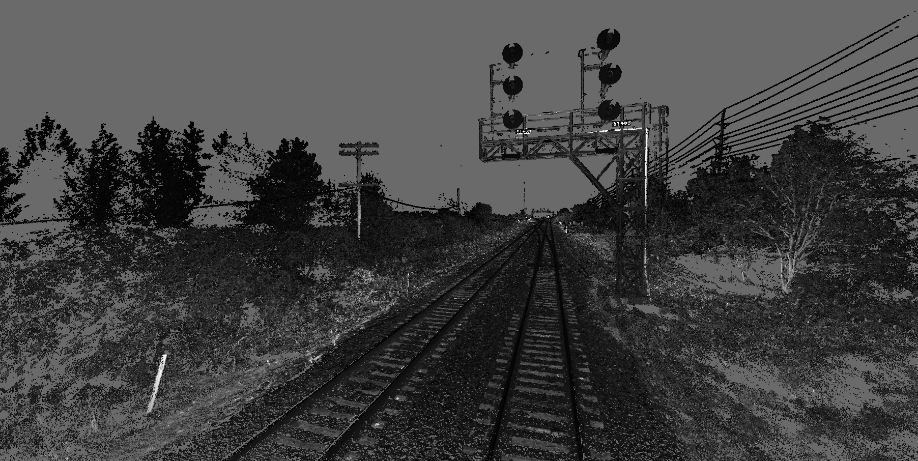
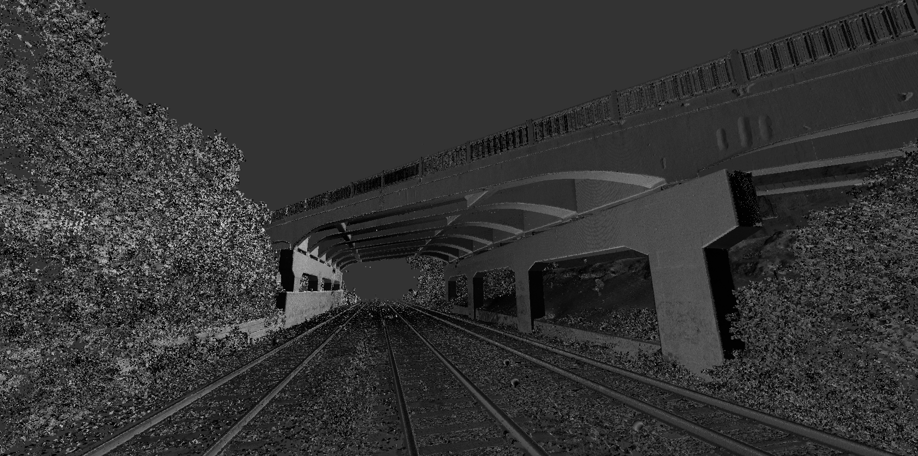
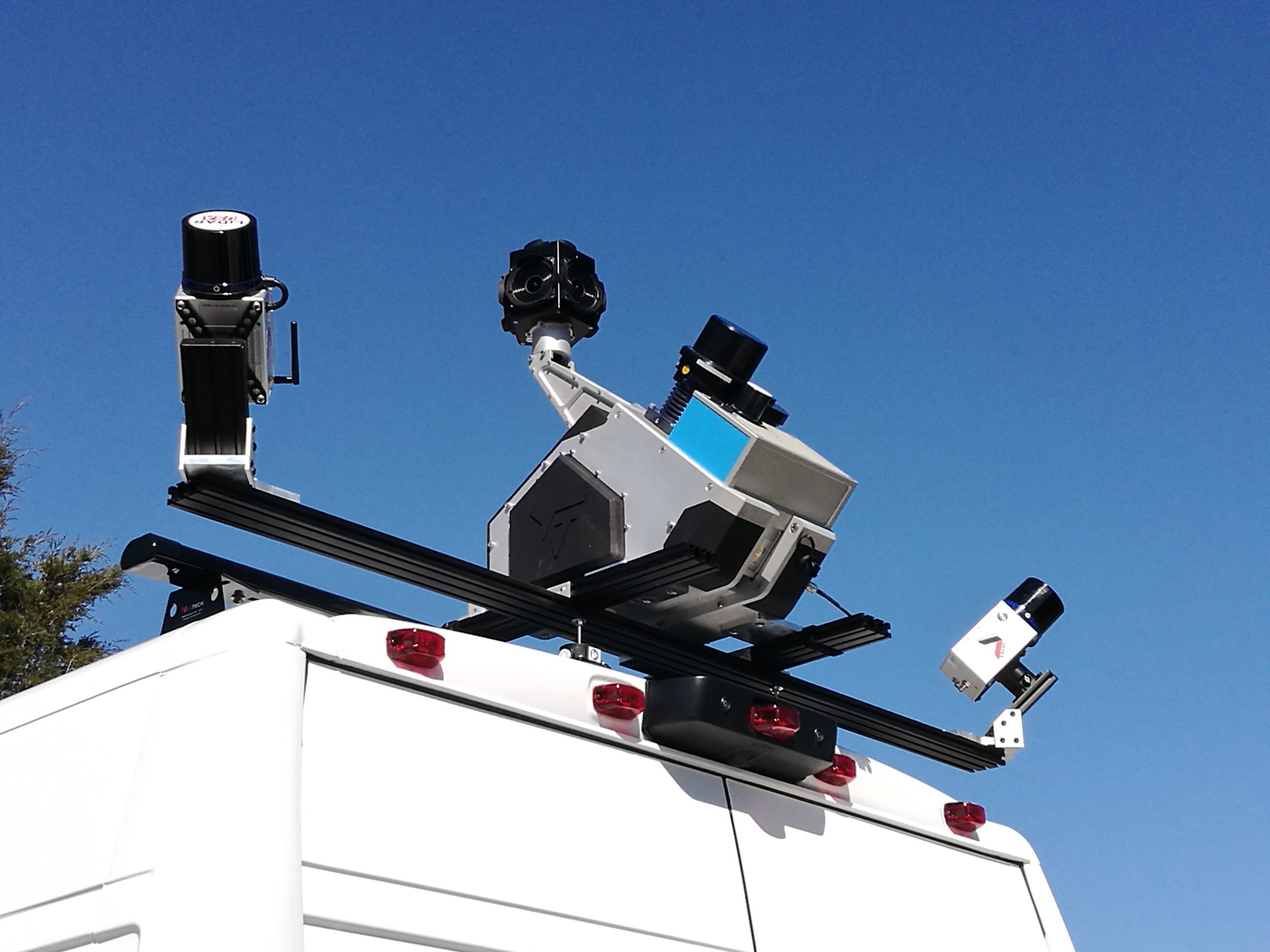
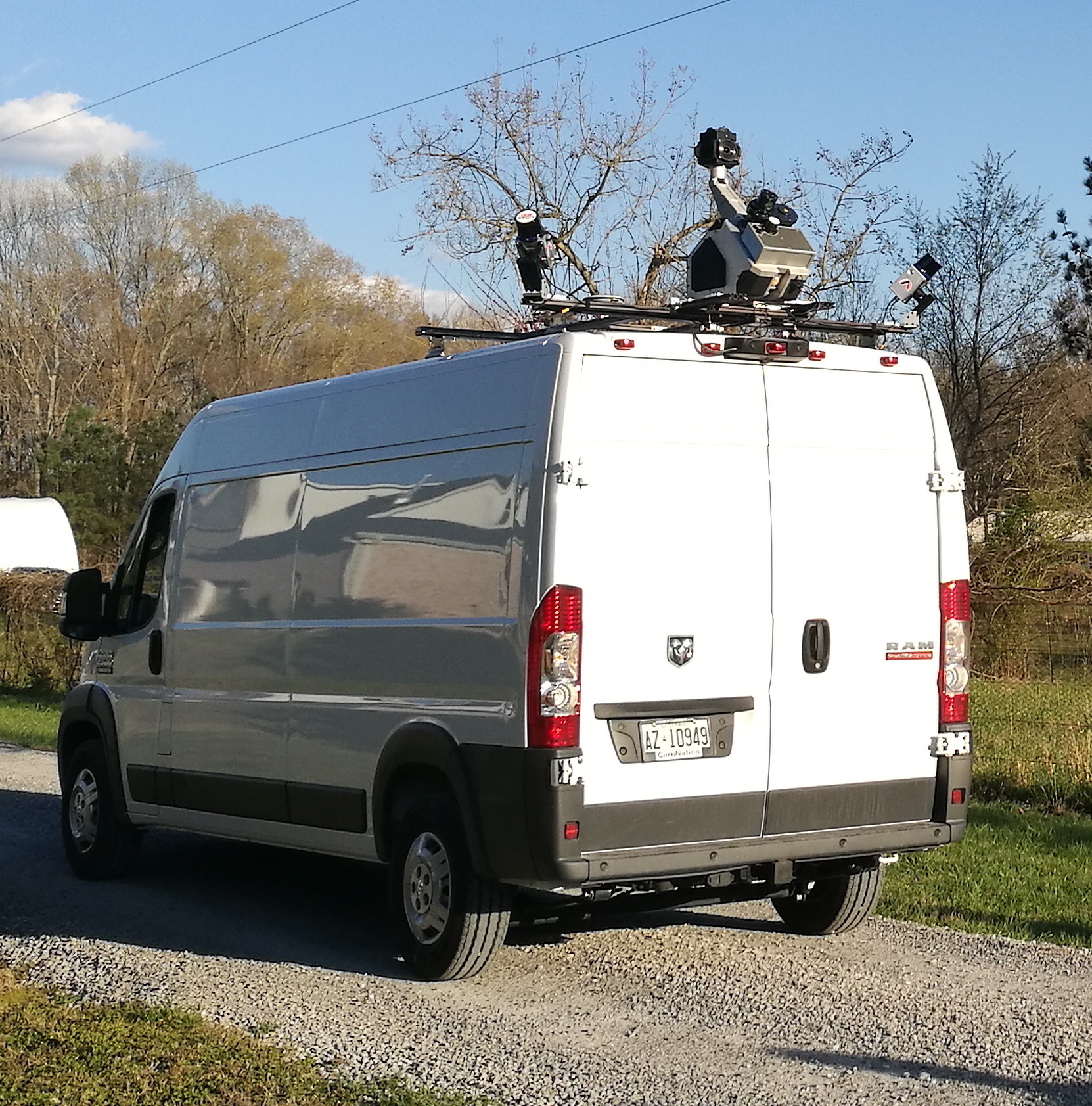
All data was collected using a ZF Scanner mounted on a Hi-Rail vehicle (vehicle provided by flagging contractor). The above images show an example of the scanner on a street legal vehicle. The majority of LiDAR scanning was completed during overnight hours when train traffic was at a minimum.
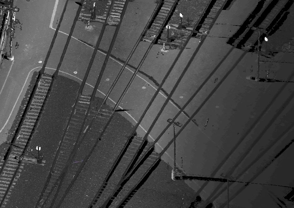
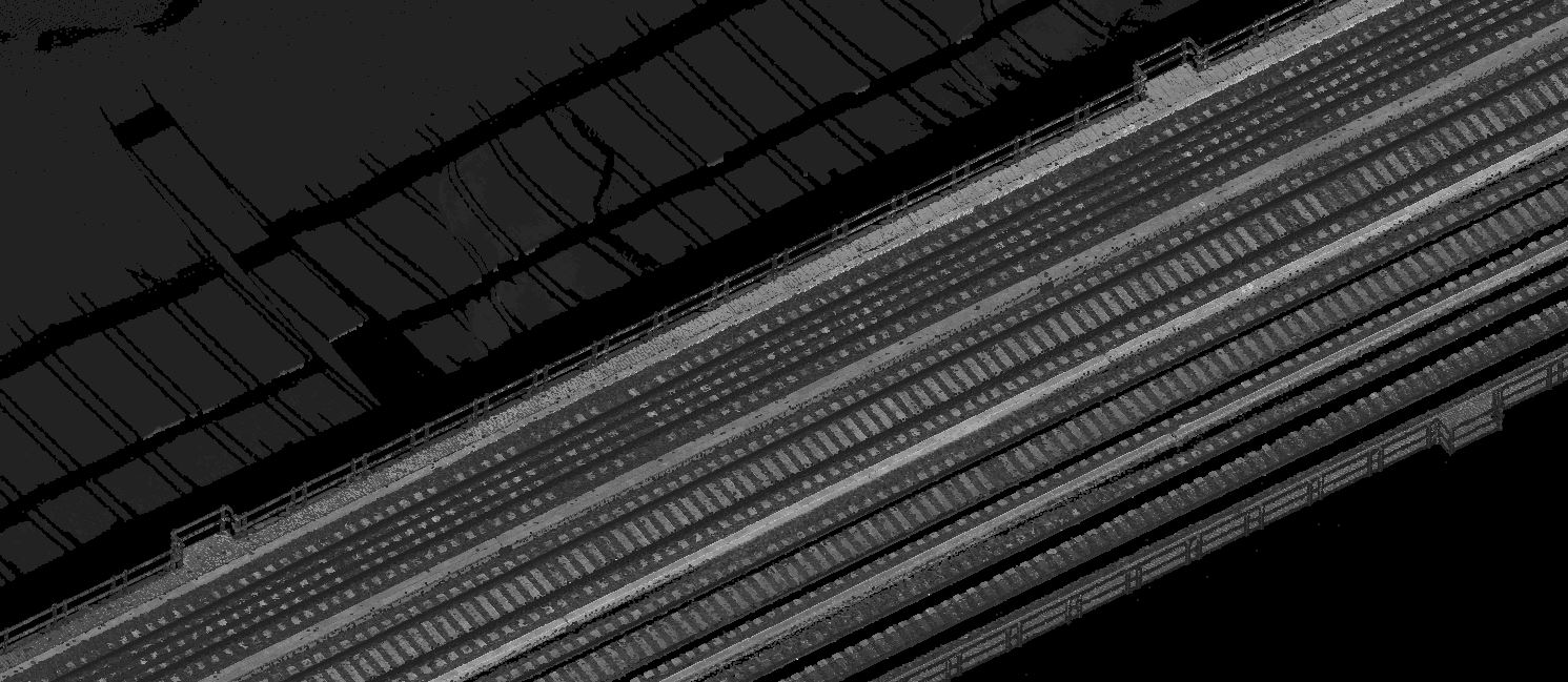
The client received point cloud deliverables, scanner photos, and extracted data of all top of rail and switch points.
Services Provided

Mobile Scanning
