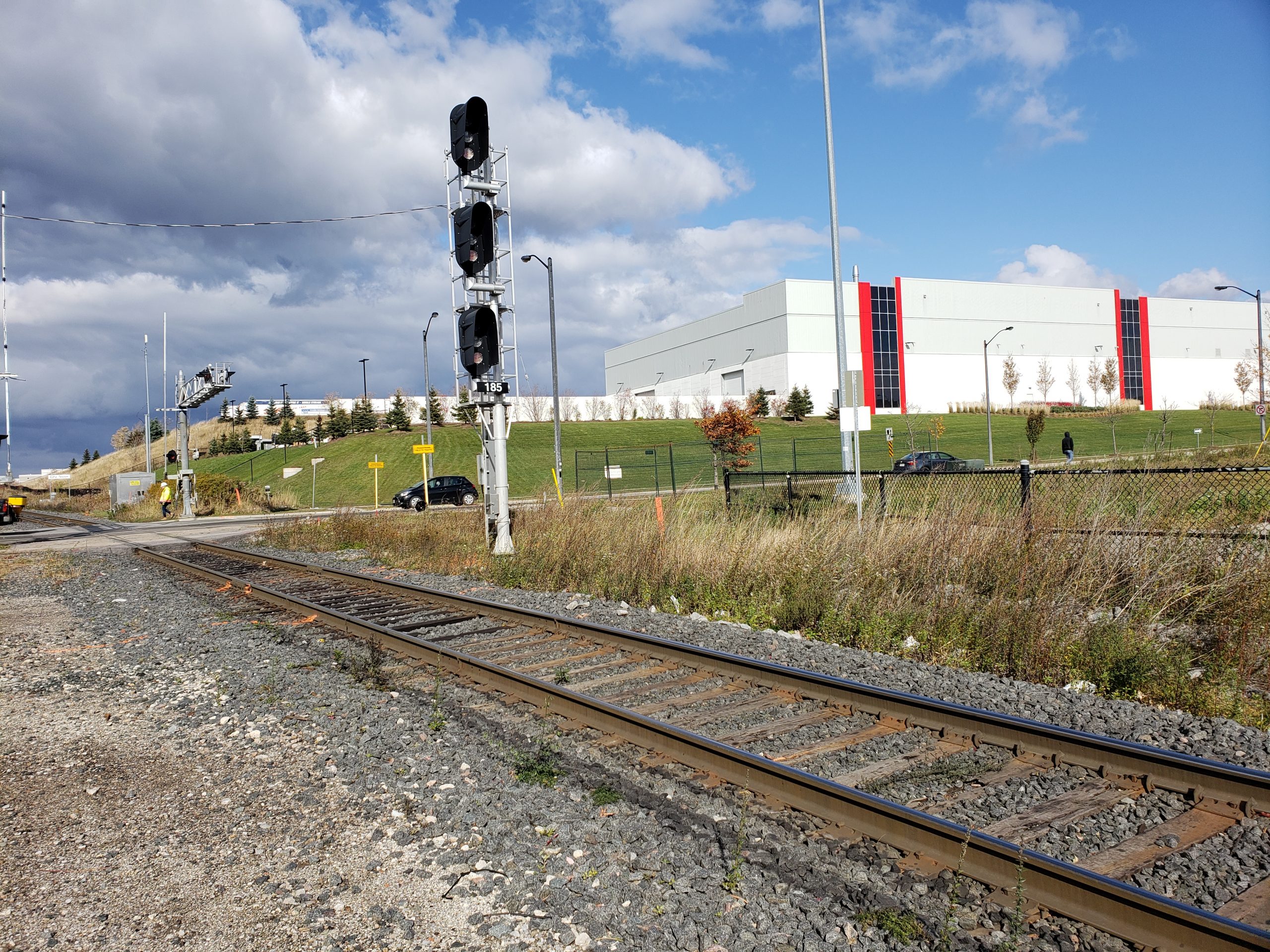
About The Project
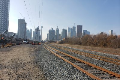
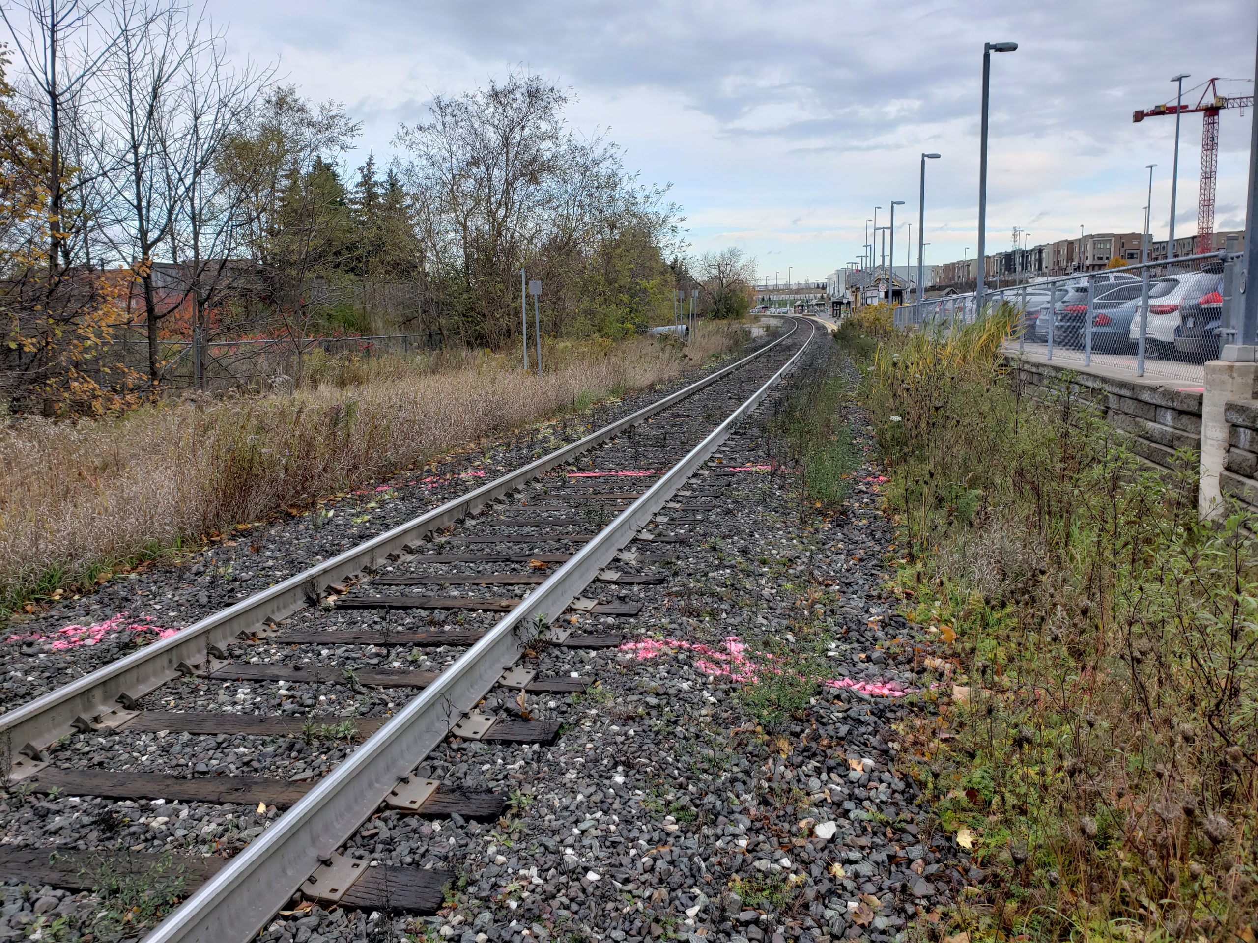
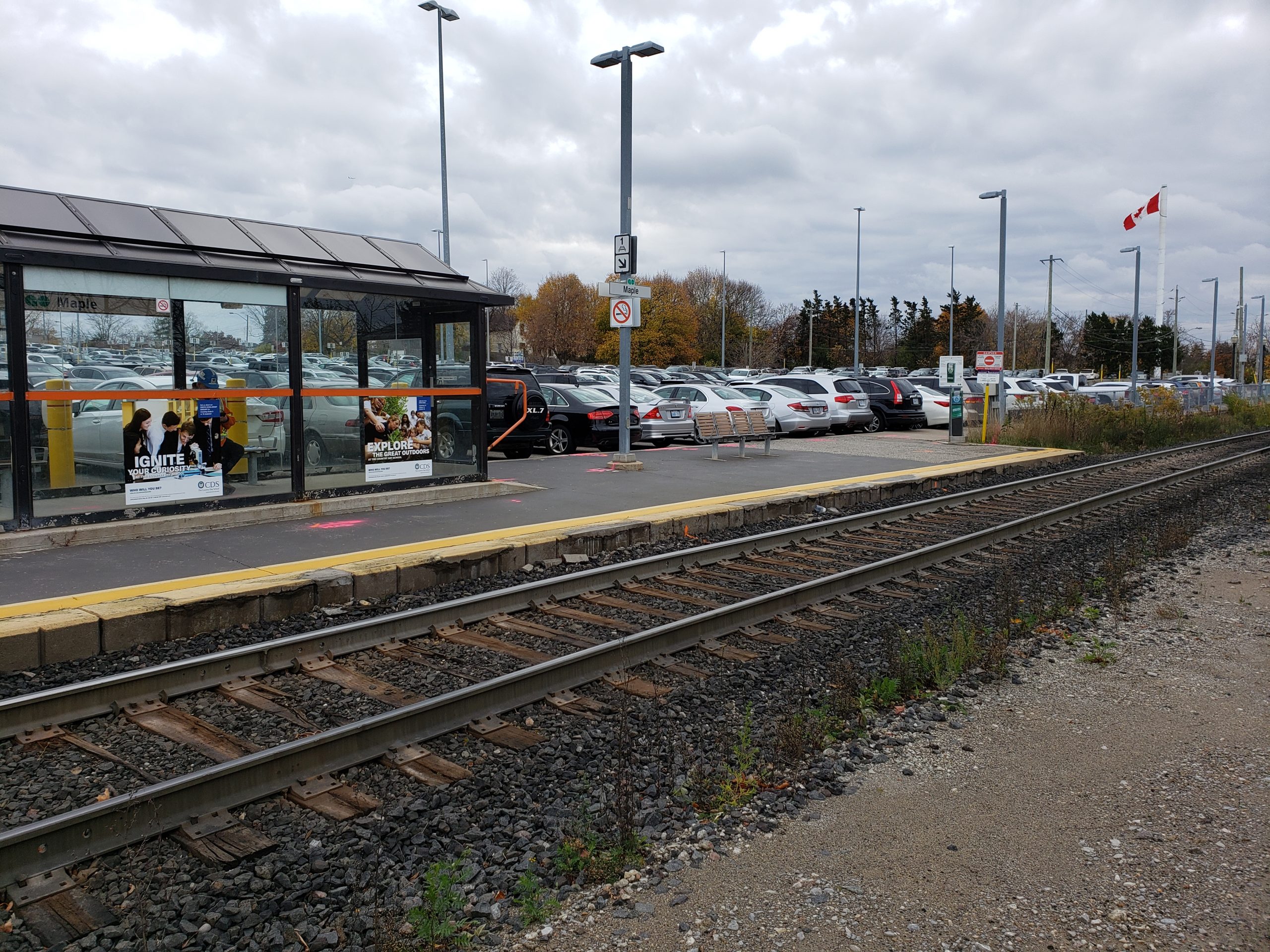
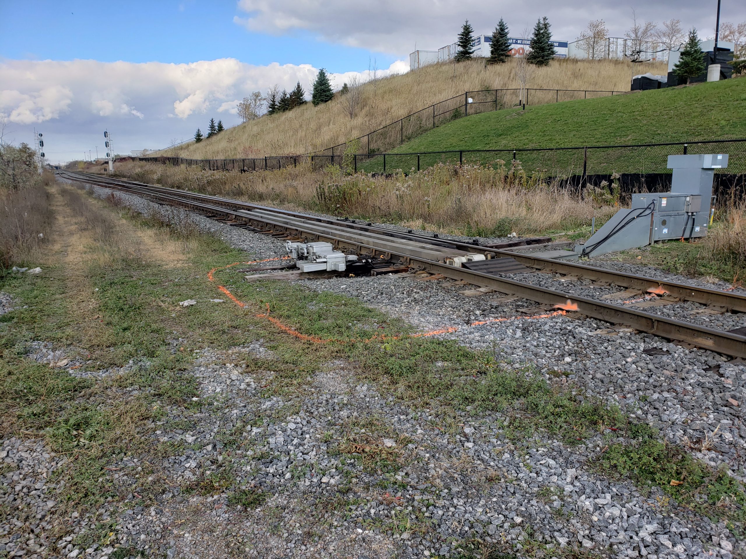
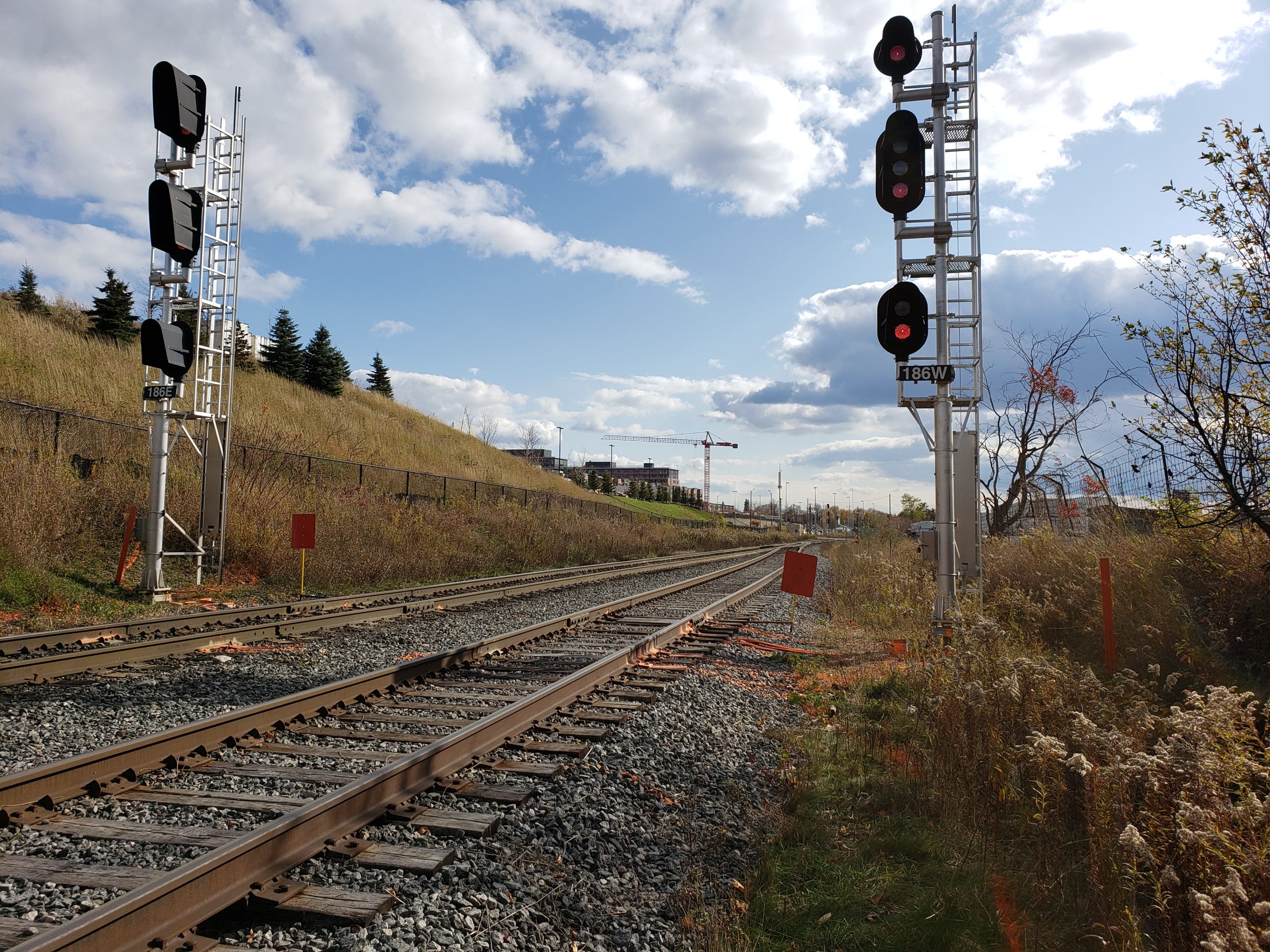
Survey of Metrolinx rail corridor 500m each way from McNaughton Road crossing, including Maple GO Station, as well as a topographic survey of the McNaughton Road right-of-way up to 375m either way from the crossing. A legal boundary survey and SUE Level B investigation where also completed by Groma’s subcontractors.
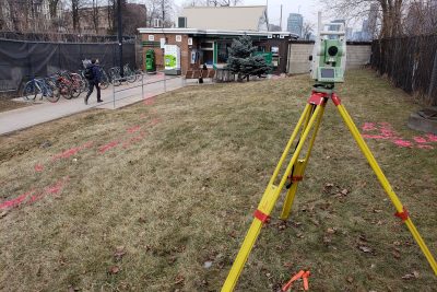
All work within the corridor was completed using conventional survey methods. Surveyors picked up drainage features, the station platform, all top of rail and any utility locates marks, among other survey items. Metrolinx-owned utilities were marked by PNR.
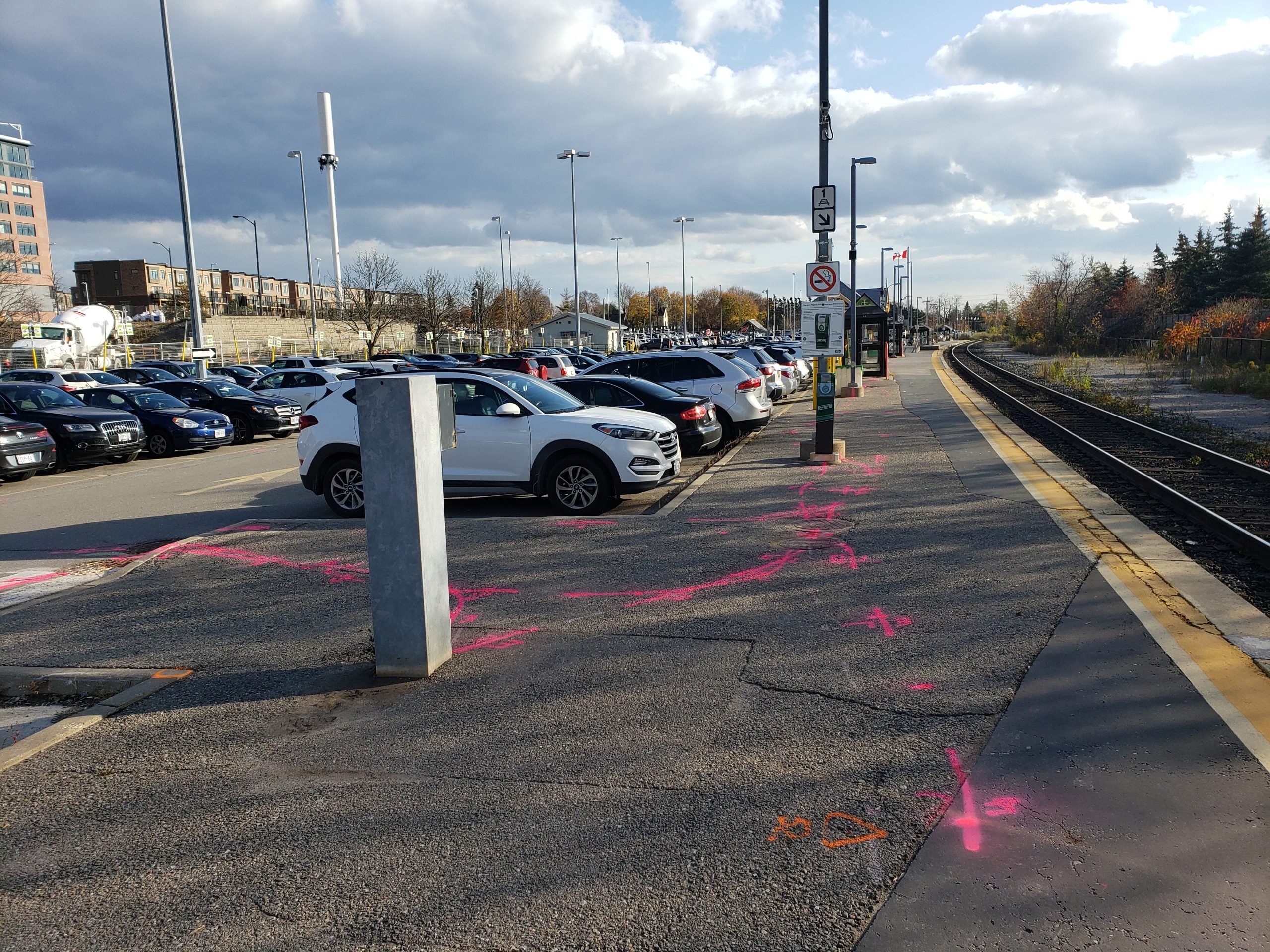
Due to the amount of traffic on McNaughton, all topographic features and SUE Level B paint marks in the roadway were picked up using Groma’s mobile scanning vehicle. This allowed everything to be captured within one day, without the need for traffic protection or road permits. All linework and ground points were extracted from the scan for inclusion in the final survey base plan. The accuracy of the mobile scan data was the same as if it would have been completed using conventional (GPS/total station) survey methods.
Groma was also asked to survey several boreholes made around the site by Wood’s geotechnical team.
Services Provided

Mobile Scanning
