About The Project
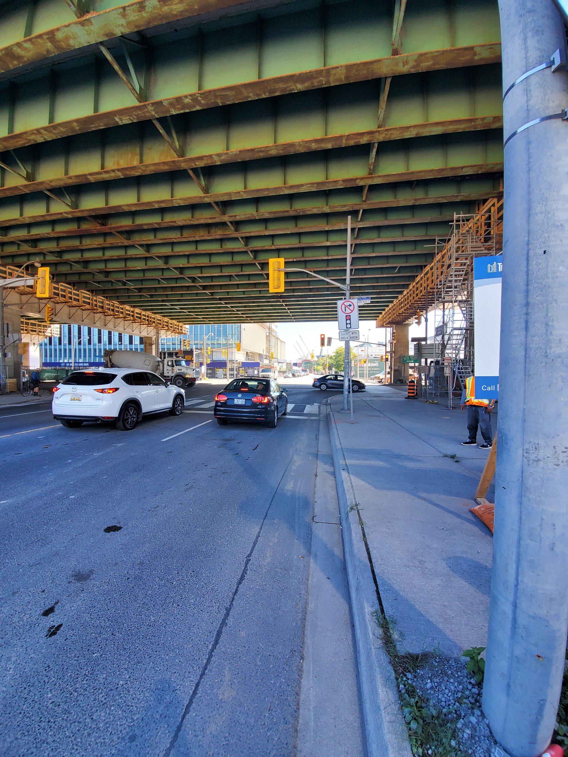
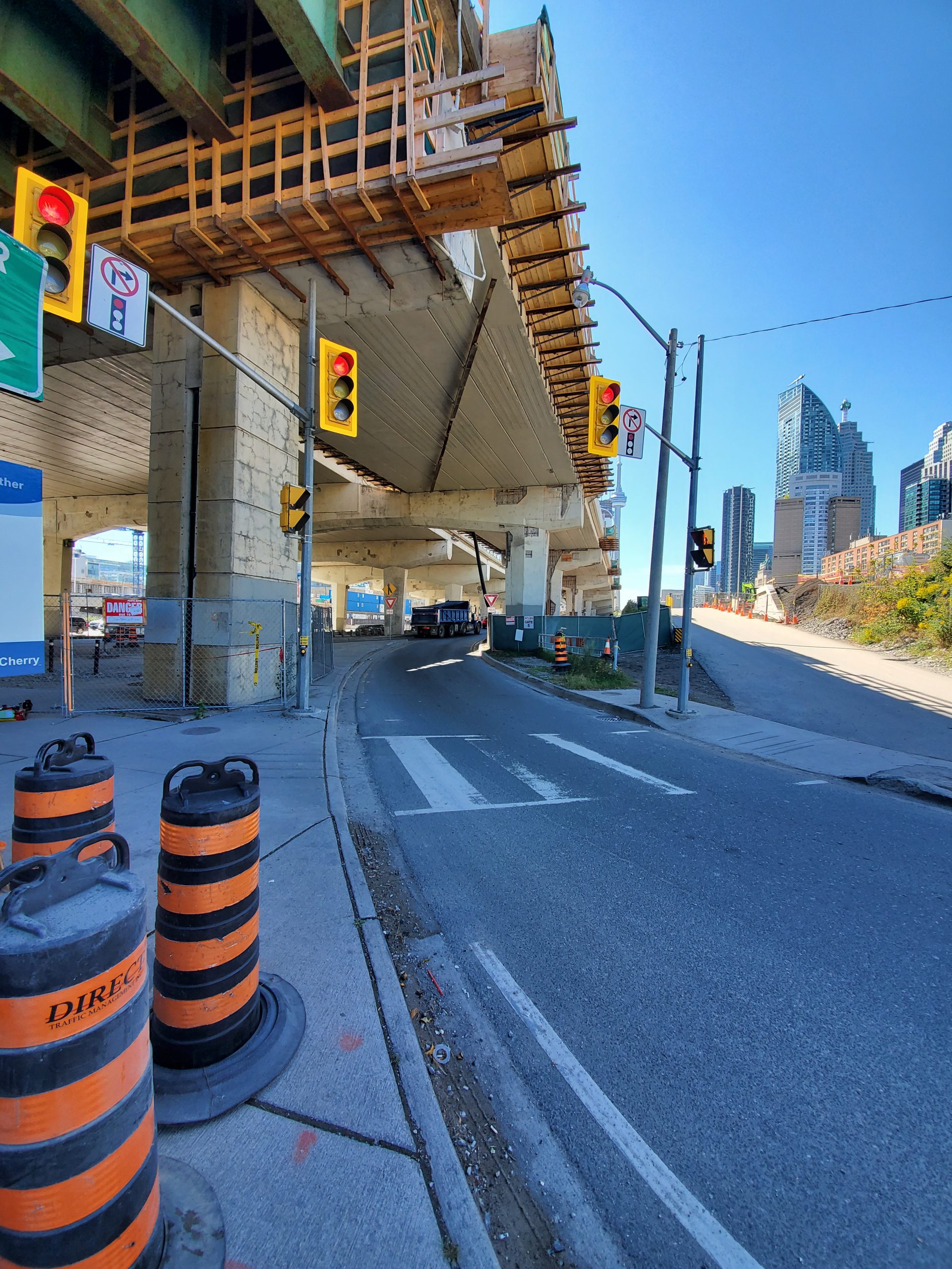
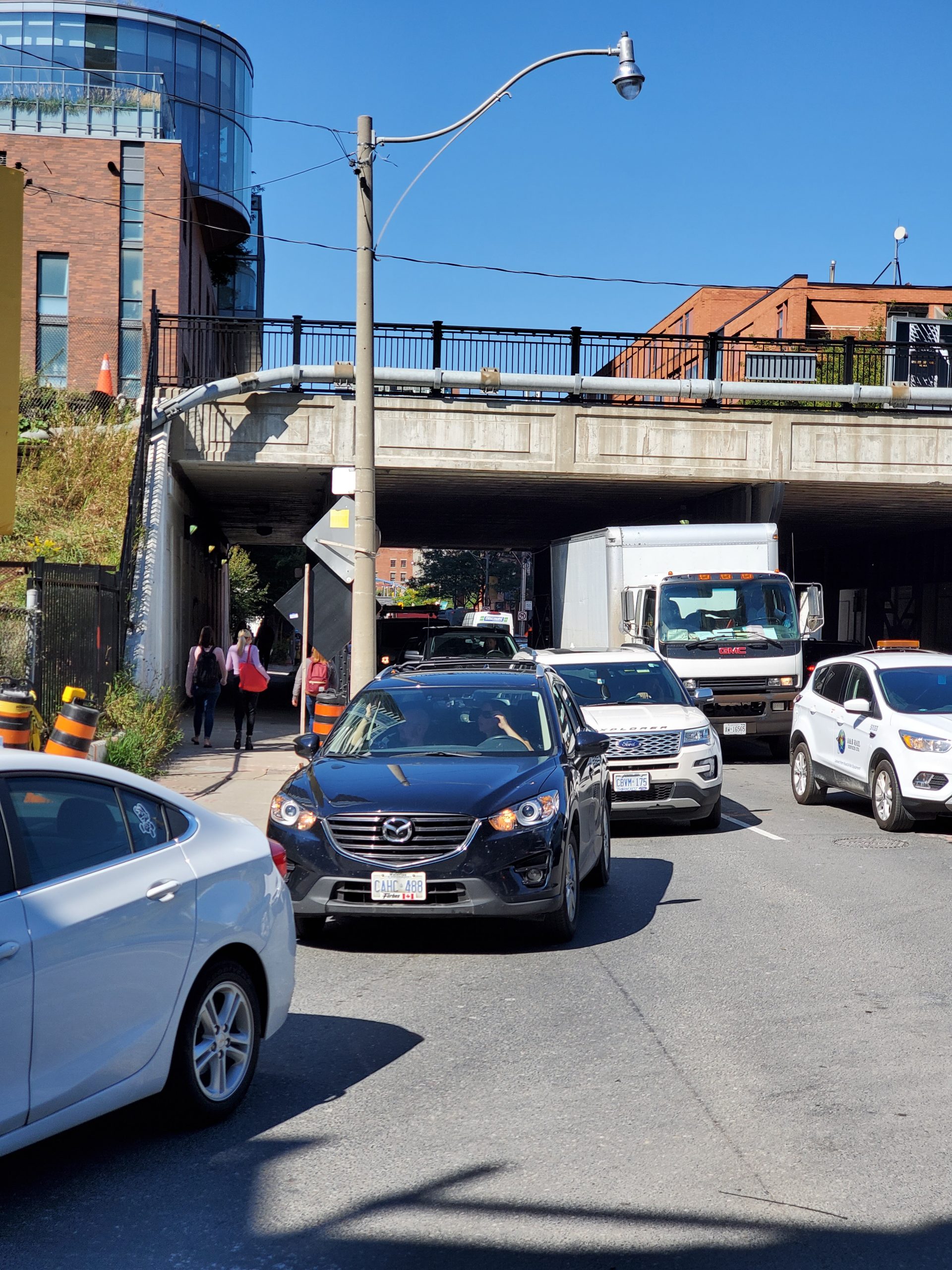
Survey of Lower Jarvis & Lake Shore Blvd intersection for development of a traffic plan. All above ground items were surveyed on Lower Jarvis from below the Gardiner to Queens Quay.
The survey items were picked up using Groma’s van-mounted mobile scanner, which allowed us to quickly pass through the site and pick up everything required in the scope of work. This also kept surveyors out of the road and avoided the need to arrange for traffic protection, which would add additional time and costs to the project. A survey crew returned later to survey targets and permanent items such as manholes and valves, for the purpose of referencing the scans to the USRC coordinate system.
The client was provided with the survey base plan of linework extracted from the scans.
Services Provided

Mobile Scanning
