About The Project
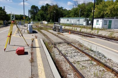
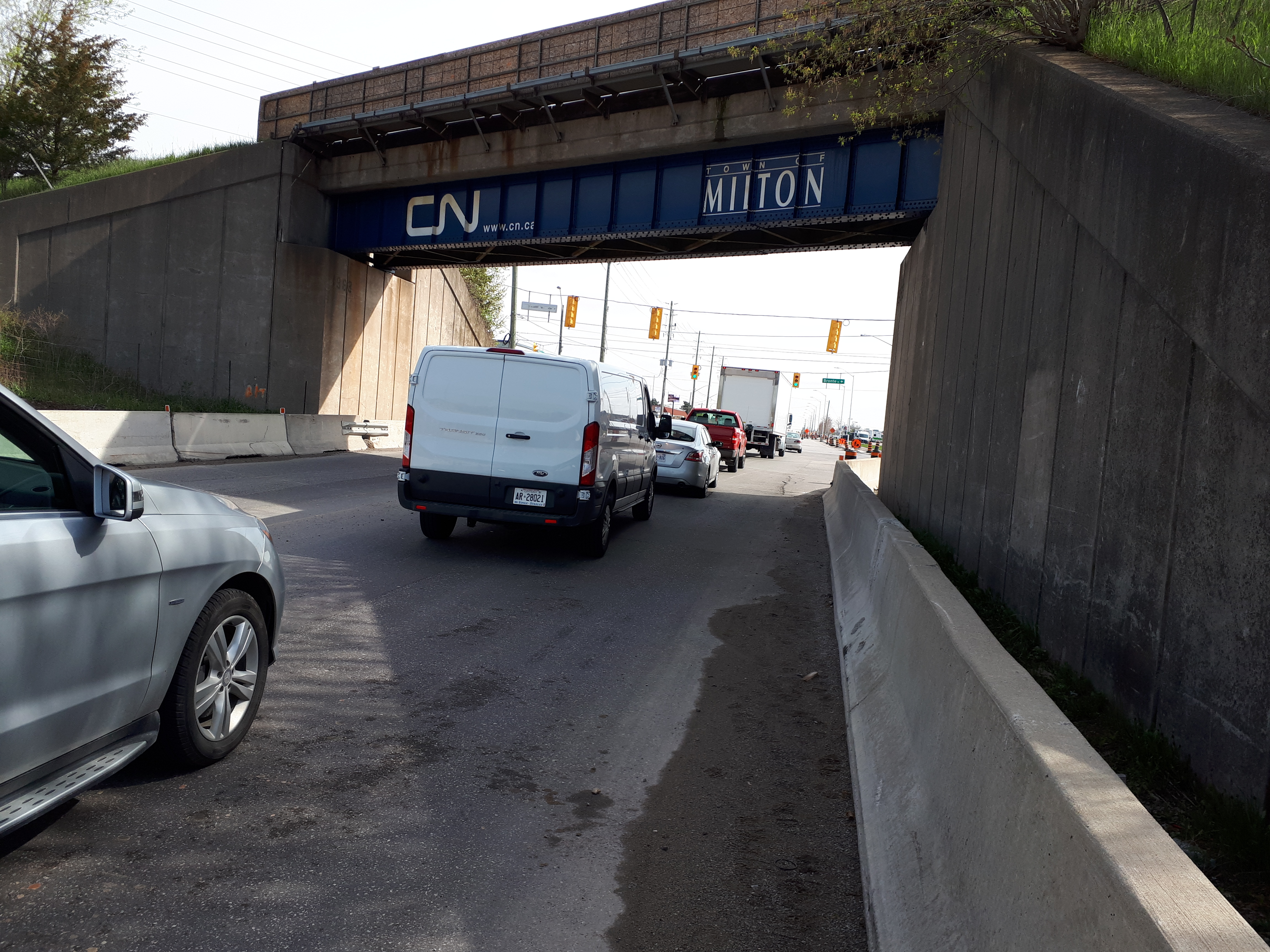
Topographic survey of the Halton subdivision in Milton, between Martin Street and just beyond the CP GALT subdivision bridge to the south.
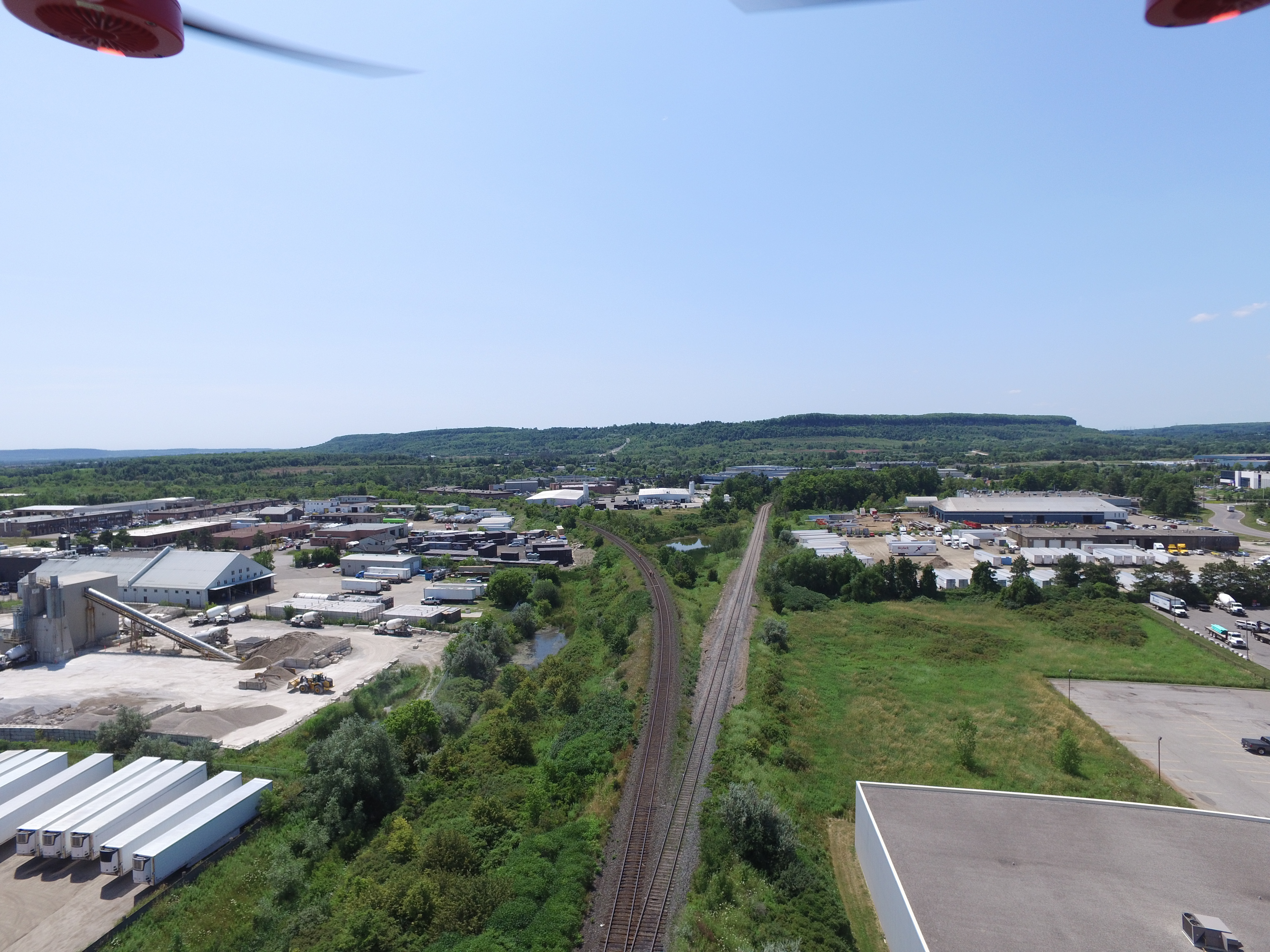
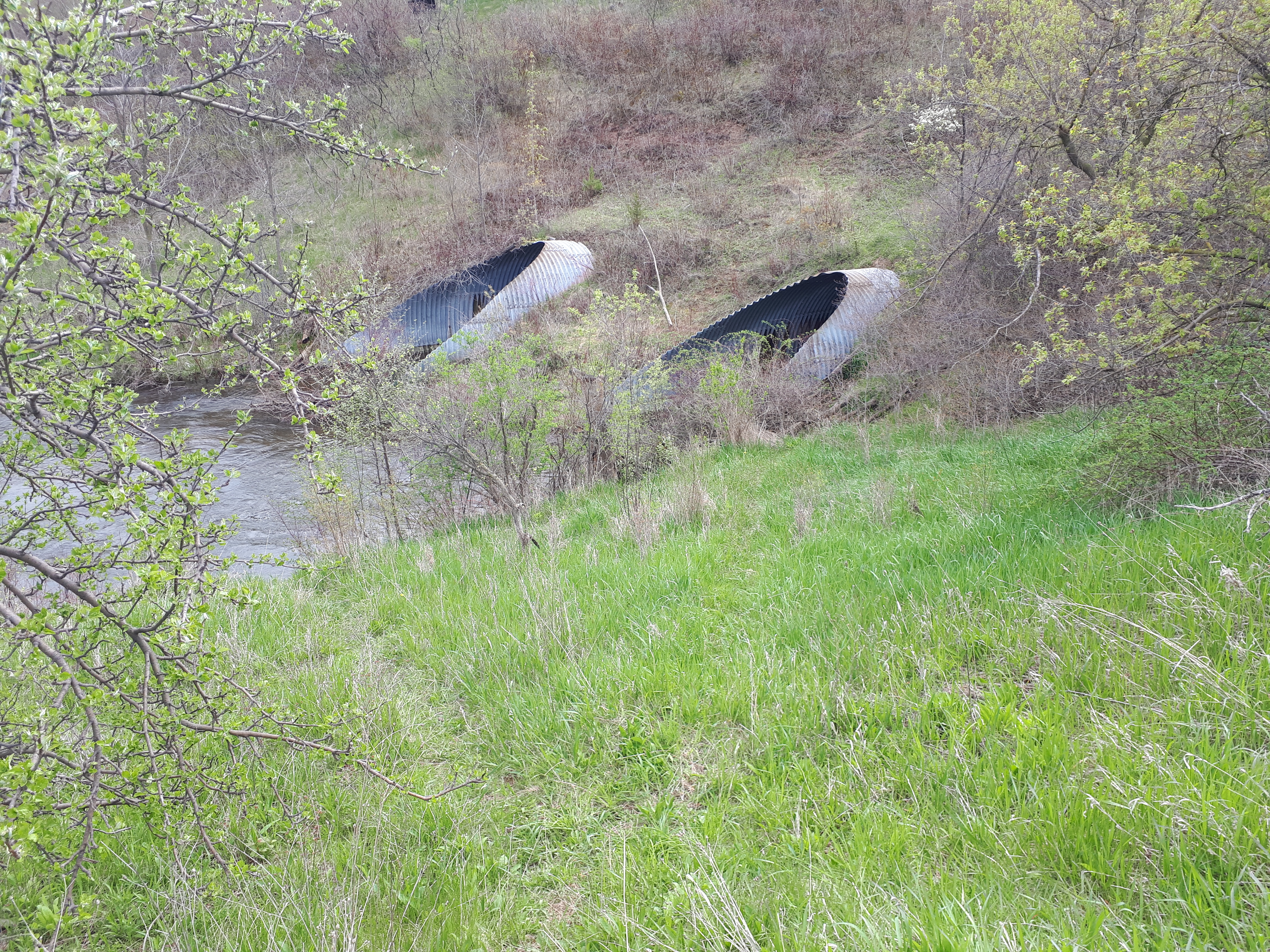
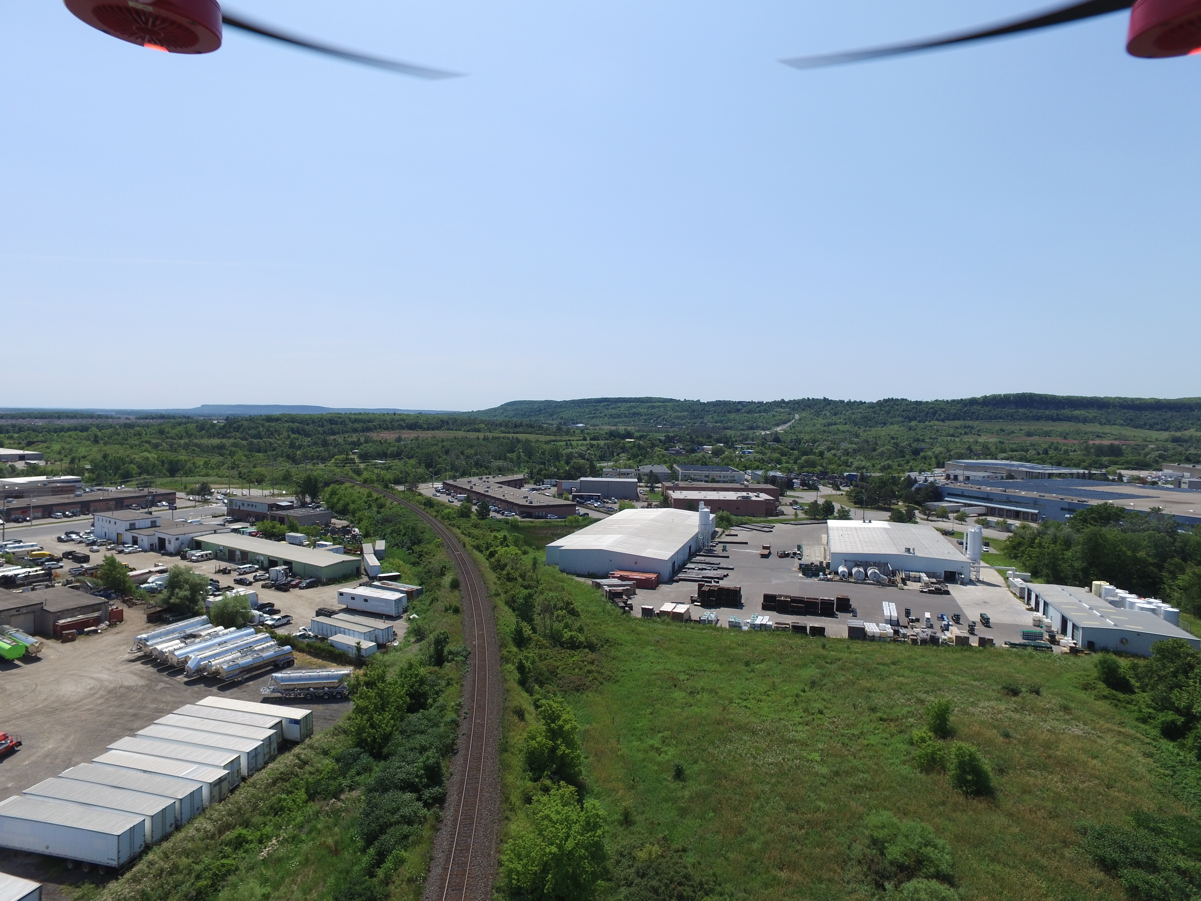
Off-corridor topography was surveyed in early spring ahead of flagging, which was coordinated so that surveyors and the client’s geotechnical team could be on site together. However, to save on flagging time, most of the corridor was surveyed with aerial LiDAR technology. This captured all of the banks, which are extremely steep and would have taken much longer to survey on foot.
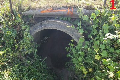
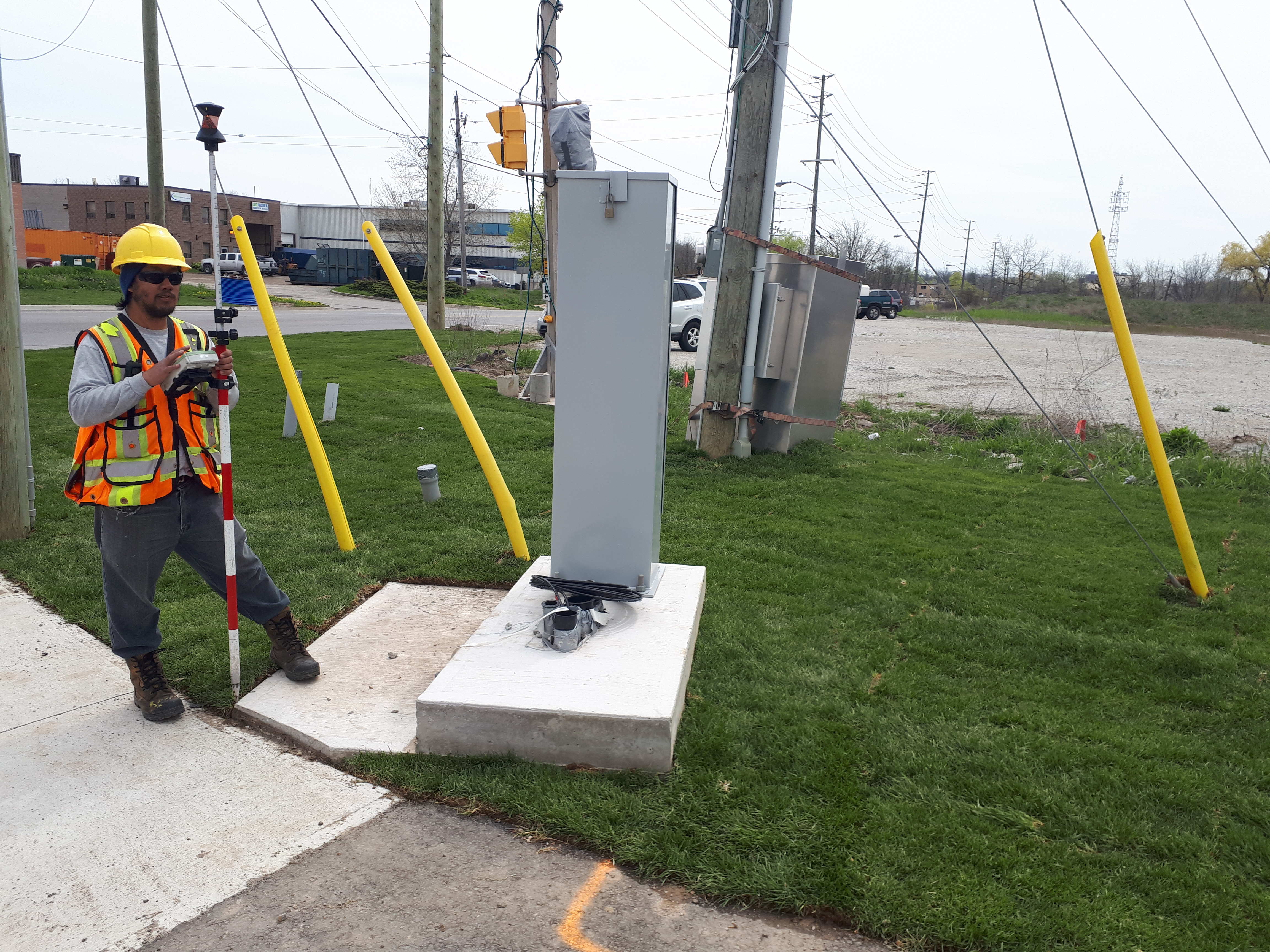
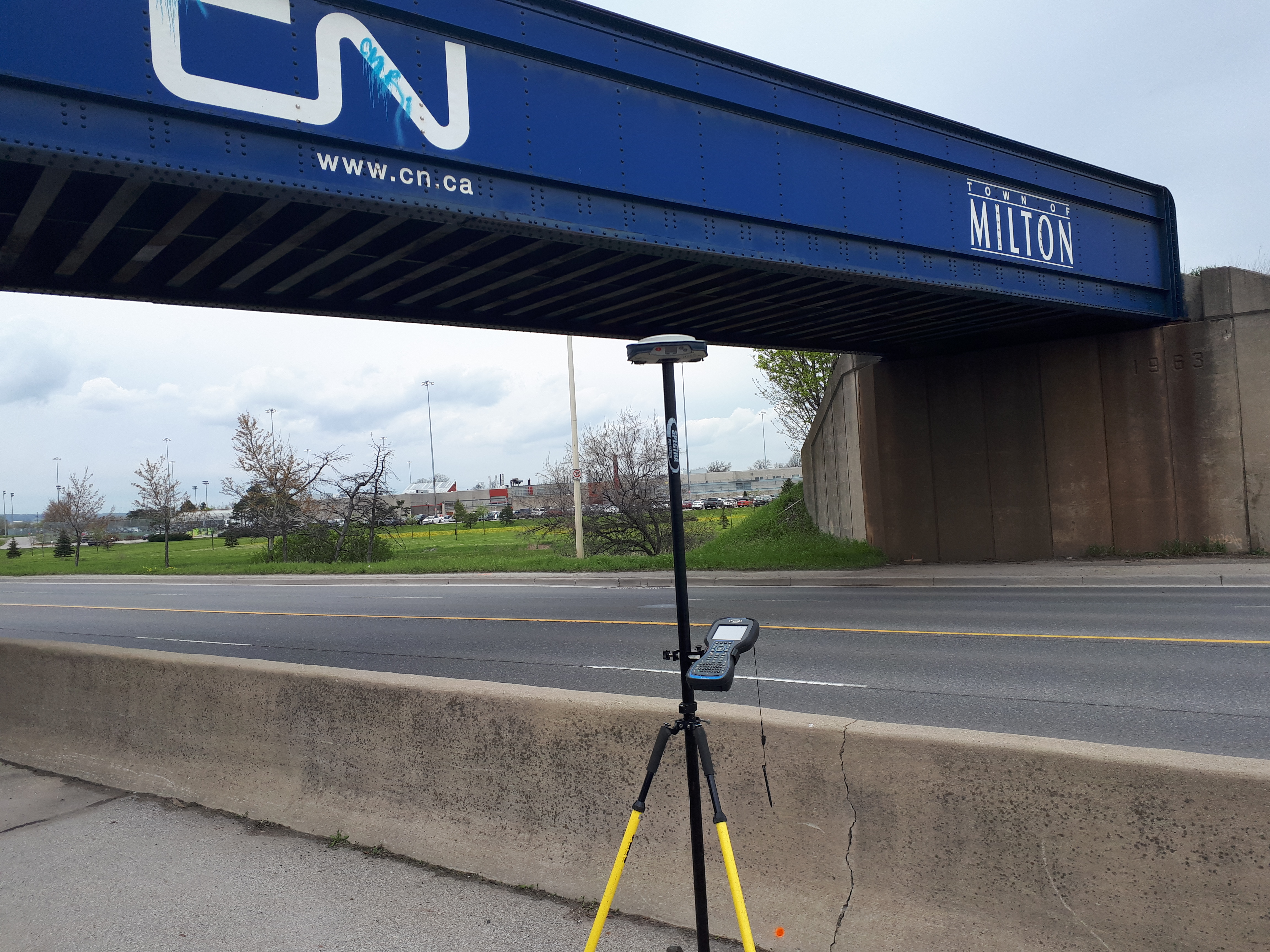
All tracks, culverts and bridges within the right-of-way were surveyed by hand for optimal accuracy.
A combined conventional-aerial DTM was produced of the site, in addition to base plans which combined GPS/total station survey work and linework extracted from the aerial point cloud.
Services Provided

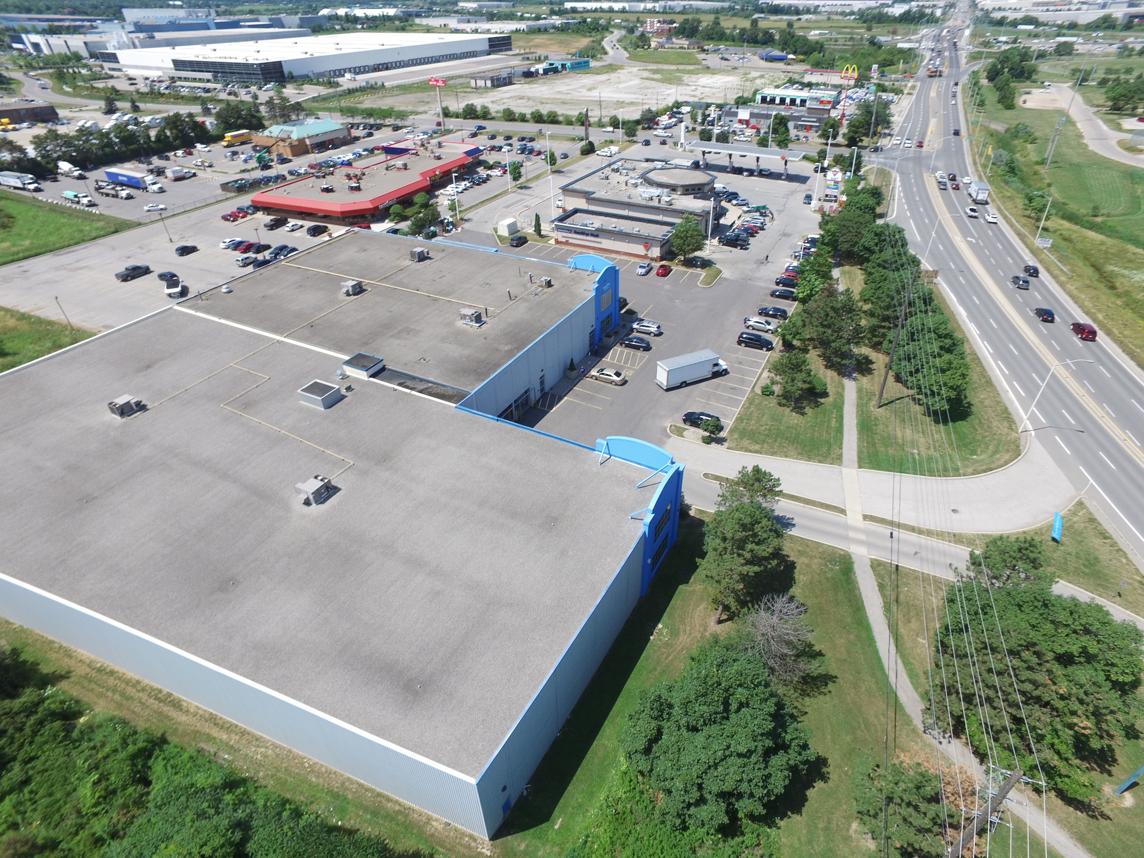
Aerial Drone Surveying
