About The Project
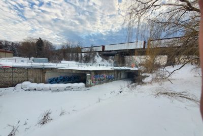
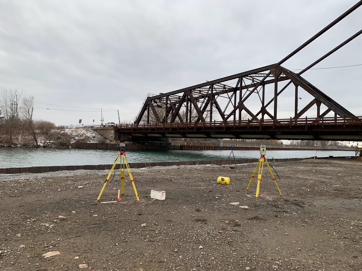
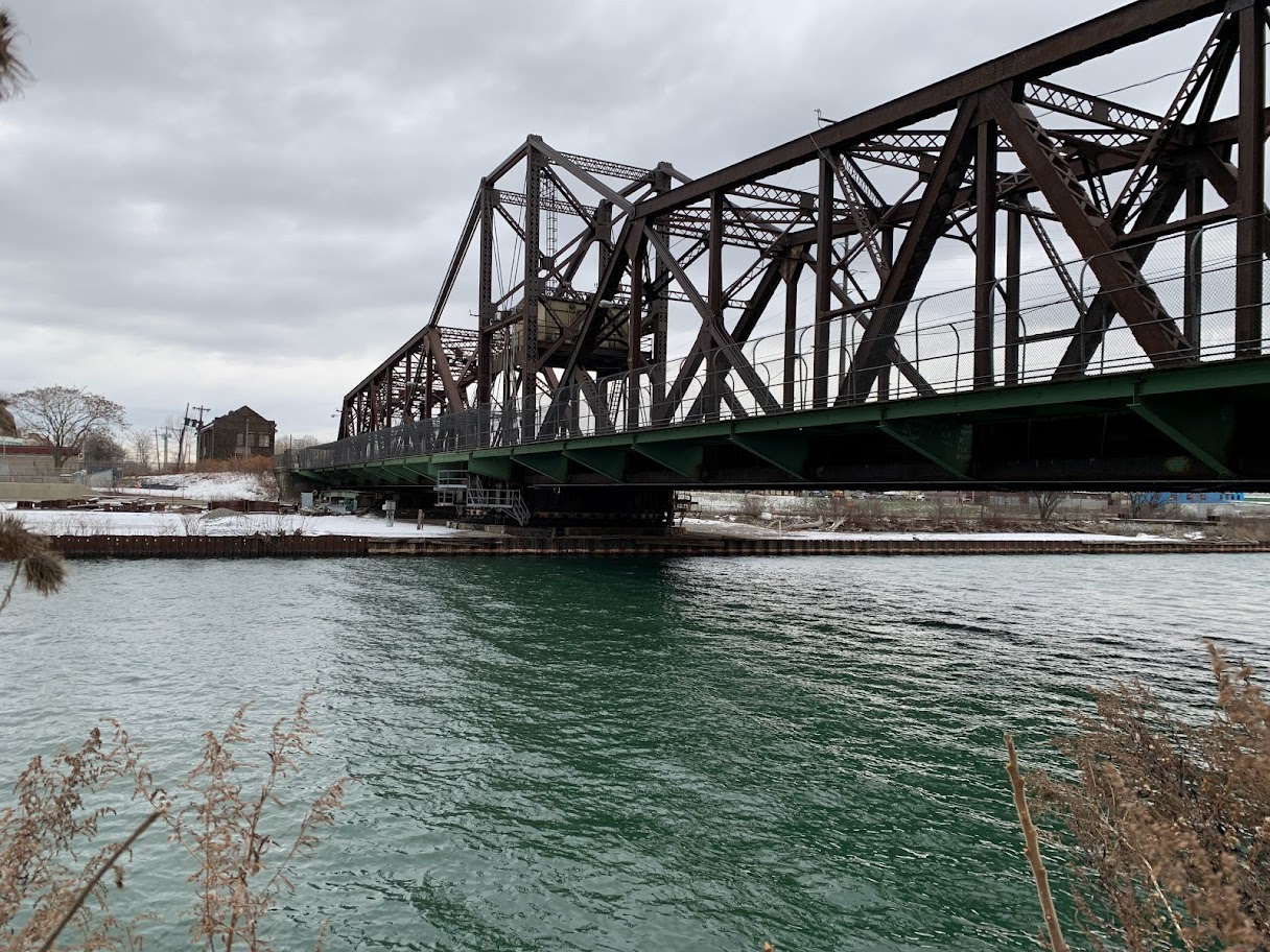
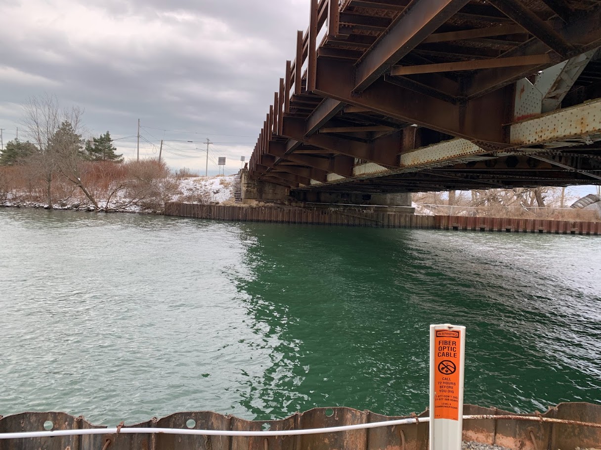
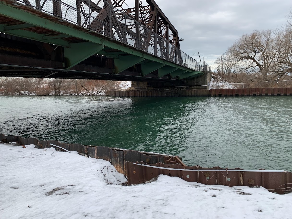
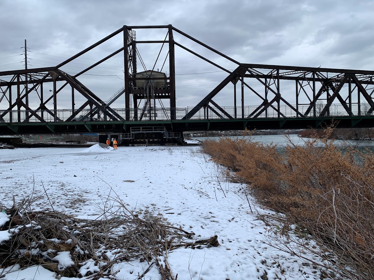
Topographic survey of the Black Rock swing bridge on Unity Island between Fort Erie, ON & Buffalo, NY. The survey was focused on the sheet piles between Unity Island and the NY mainland below the swing bridge, with additional surveying for the top of rail and structural elements of the swing span. Surveying was done with a combination of stationary LiDAR scanning and traditional GPS/Total station surveying in order to capture all of the required items at once.
Surveyors tied into NGSD monuments to complete the survey in the New York State UTM coordinate system, also tied into NAVD88 benchmarks to confirm the vertical datum as required by the client.
Services Provided

3D Laser Scanning
With scanning, we provide our clients with a fast and easy solution to gather large quantities of information with a high degree of accuracy. Using the 3D laser scanner to gather point cloud data that contains both location and RGB information makes it easy for Groma’s customers to dimension and display cross sections. Point clouds are easily imported into AutoCAD or can be dimensioned right on the web using online tools.
GPS/Total Station
Our field teams use Leica robotic Total Stations, Leica, Trimble, and Topcon GNSS units and Leica DNA03 digital levels to provide a wide range of services for projects of any size; includes topographical surveys, construction layout, control networks, deformation monitoring, site volume calculations, as-built surveys and much more.
