


About The Project
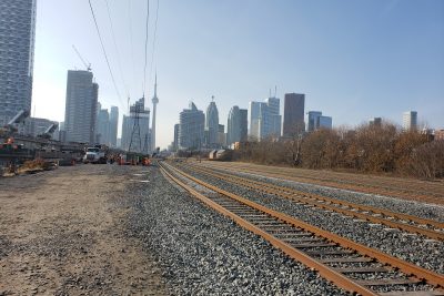
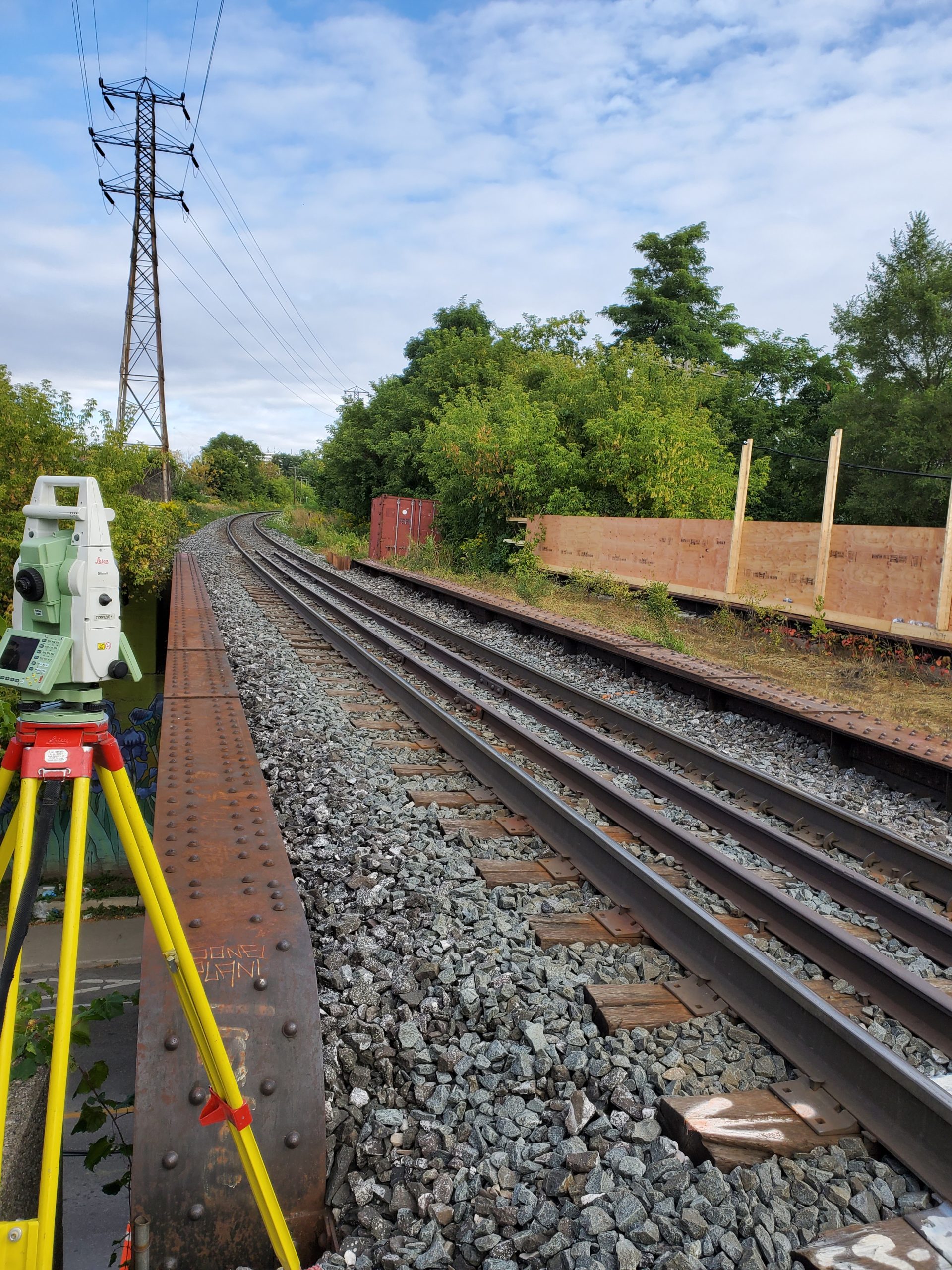
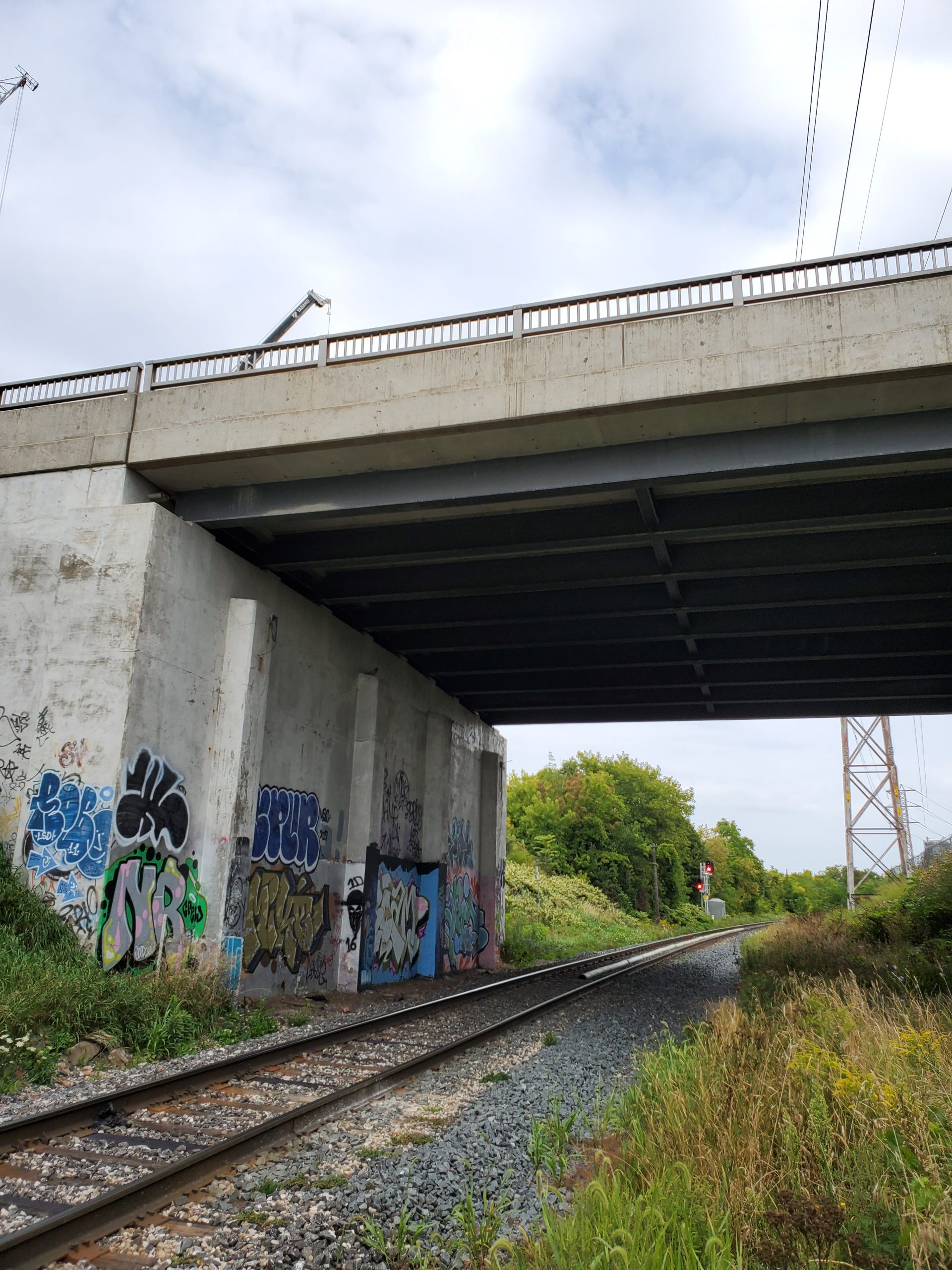
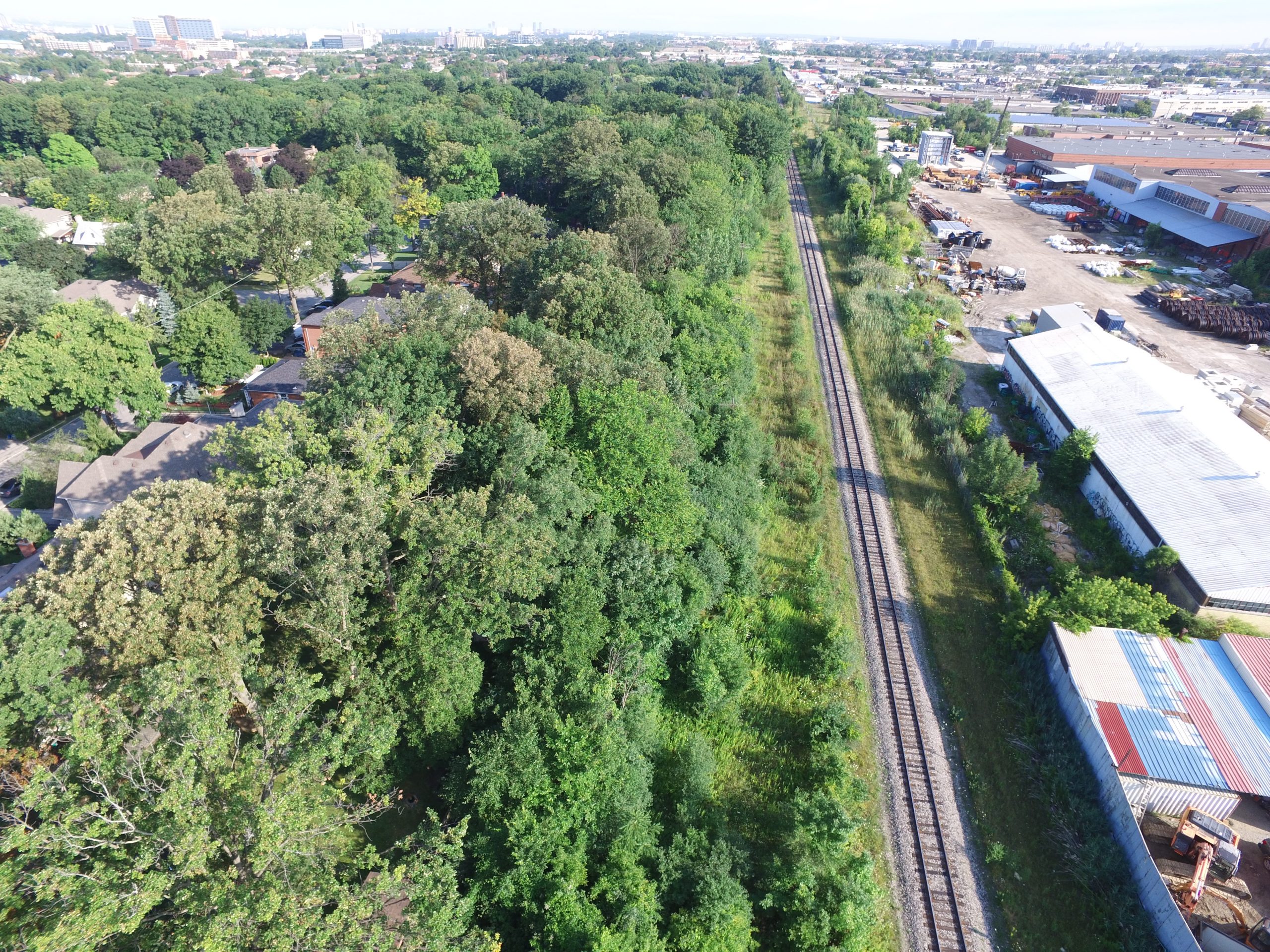
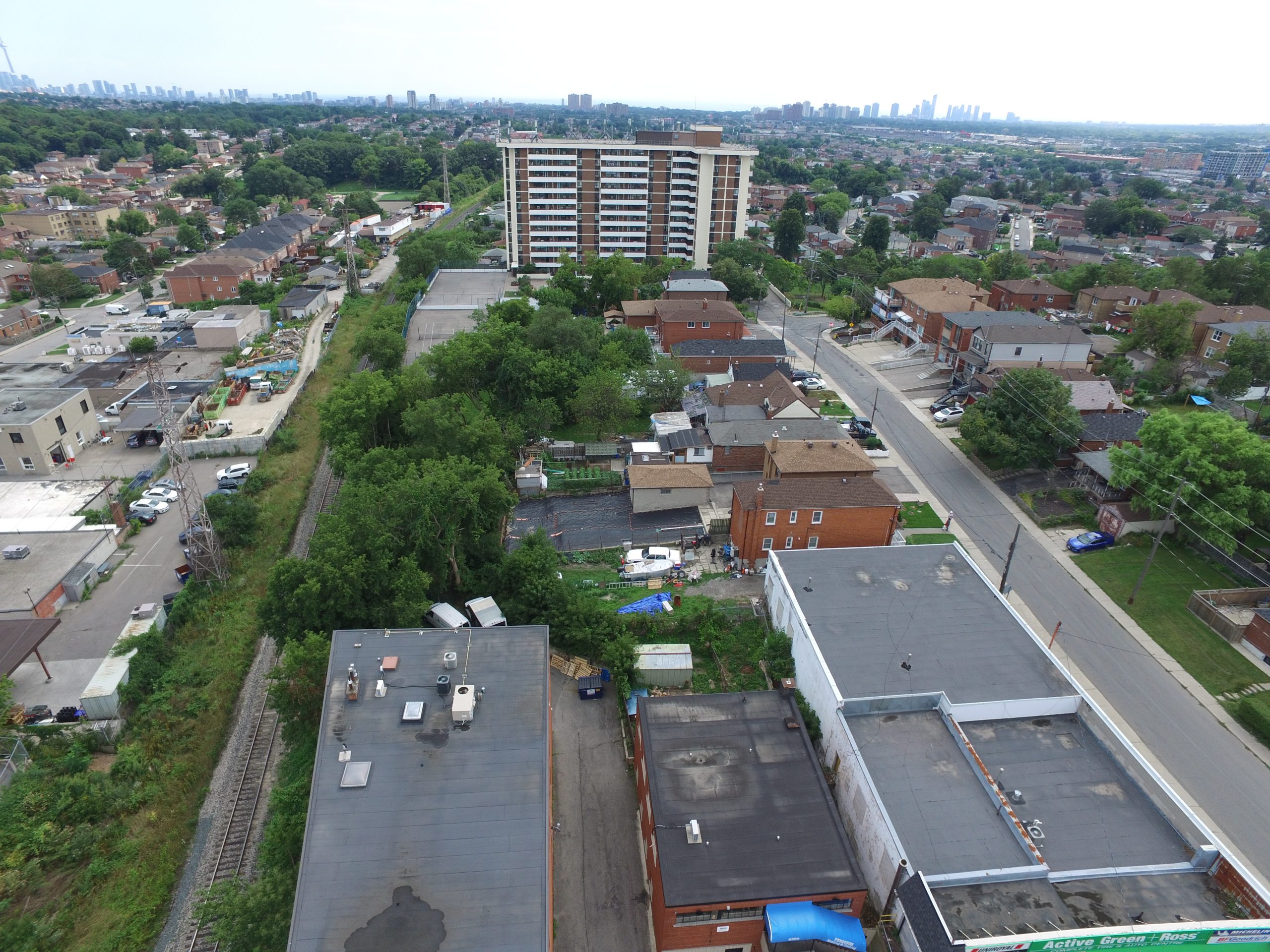
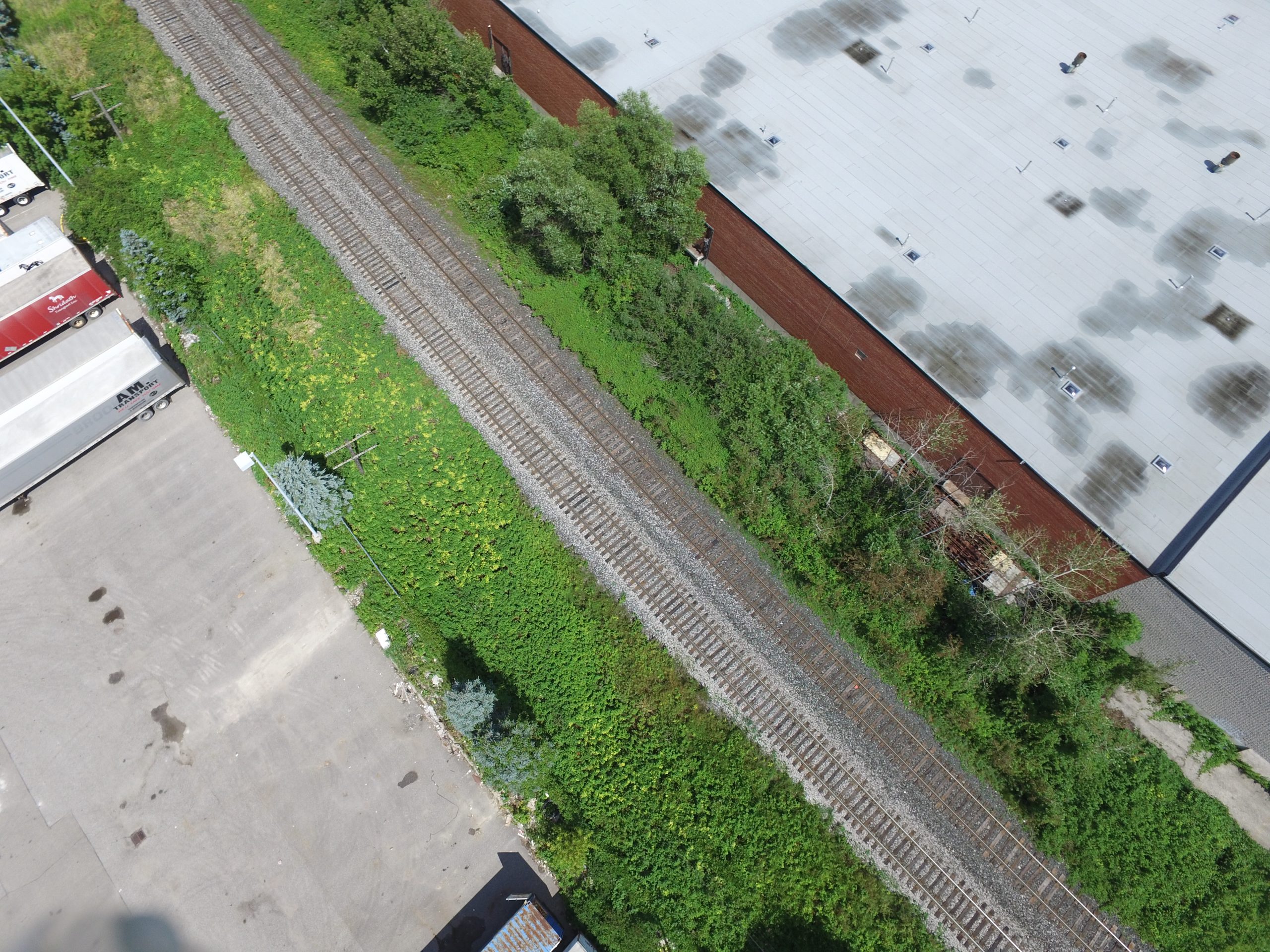
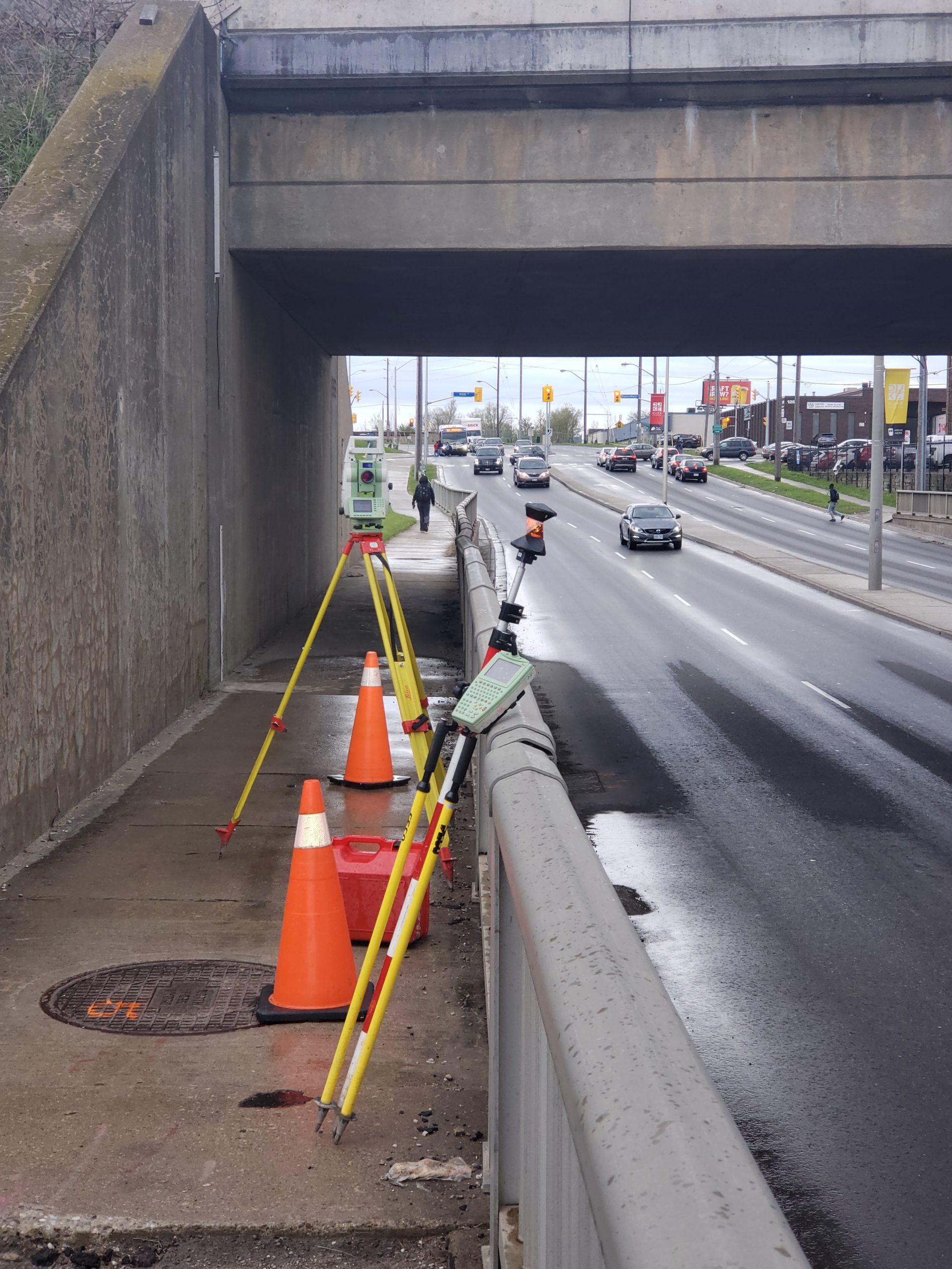
Topographic survey of Barrie rail Corridor through west Toronto. There were 7 zones to survey in total, covering areas between King Street West and Finch Avenue.
Survey was tied into previous control used for legal survey work on the corridor. Top of rail was surveyed using a rail-mounted GPS cart, and all bridges and culverts were surveyed using GPS and total station equipment. Because the length of the corridor to be surveyed was so large (approximately 8km), all 7 zones were flown using an aerial drone. The drone scanned the ground with LiDAR, which resulted in a point cloud representation of the site conditions. Data for the ground points and banks were extracted from the point clouds. The LiDAR data was also used to make DTM surfaces of each zone.
Services Provided

Aerial Drone Surveying
